What is recorded here
Situated on the summit of a low gently sloped hill with extensive views especially to the S. A large rectangular area (dims. 37m N-S; 30m E-W) surrounded by a flat-bottomed fosse (Wth 7.5-10m; D 0.5-0.8m) and a wide low bank of earth (Wth 8-10m at W, N and E, 5m at S; H 0.4-0.6m). A castle (WI040-028001-) is located at the S end of the enclosure opposite which is a causeway across the fosse and a corresponding gap in the bank. To the E and W of this entrance feature are two hollows projecting inwards from the fosse which may be associated with the entrance defenses. (O'Flanagan 1928, 120; Price 1936, 47-8)
The above description is derived from the published 'Archaeological Inventory of County Wicklow' (Dublin: Stationery Office, 1997). In certain instances the entries have been revised and updated in the light of recent research.
Date of upload/revision: 17 December 2008
This monument is subject to a preservation order made under the National Monuments Acts 1930 to 2014 (PO no. 101/1940).
The monument record does not grant public access. Check the route and ask the landowner before entering private land.
- What survives
- Recorded monument
Places near here
 Enclosure in CoolbegEnclosure · 978 yd
 (Site of) ChurchChurch · 1444 yd
 Saint Joseph's Catholic Churchchurch/chapel · 1.6 mi
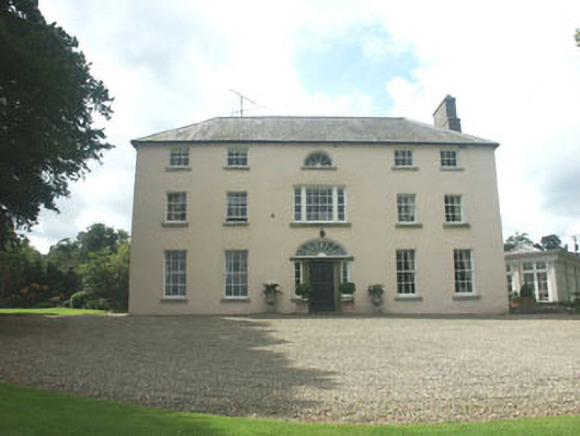 Ballymoney Housecountry house · 1.7 mi
 CastleCastle, unclassified · 2.5 mi
 Lawson's CypressLawson's Cypress · 2.6 mi
 Japanese cedarJapanese cedar · 2.7 mi
 Carrick MountainMountain / peak · 3.0 mi
 Round MountCastle, motte · 3.0 mi
 Kilpoole BeachBeach / strand · 3.8 mi
 Glen Beach Cliff WalkWalking route · 3.9 mi
 Silver StrandBeach / strand · 3.9 mi