What is recorded here
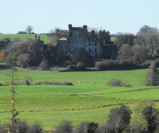
Lynally Moat rises five metres above the low Offaly terrain, carrying the thick grass-covered footings of a possible medieval tower house on its flat top. The mound still holds the shape of a defended home, while a modern road cuts across its southern base and a church waits nearby. People may have lived inside those walls, watched the valley, and forgotten the name of the room where they stood.
Located on a slight N-S ridge in low lying terrain with church and graveyard (OF016-031001/002-) to the N. Large flat topped circular mound (max. diam c. 38m at base, c. 16m top diam ; H 5m) which has a rectangular shaped depression on top measuring 1.5m deep. This depression is enclosed by the grass covered wall footings of a building of unknown date. The walls of this building measure approx. 1m thick and may have belonged to the site of a medieval tower house. This rectangular building measures 10.5m E-W by 9.5m N-S. Evidence of a wide fosse enclosing the base of the motte at N only. Possible raised bailey area to the N between the motte and the nearby church (SMR 16:31). Modern road intercepts the base of the motte at S.
The above description is derived from the published 'Archaeological Inventory of County Offaly' (Dublin: Stationery Office, 1997). In certain instances the entries have been revised and updated in the light of recent research.
Date of upload: 23 May 2011
The monument record does not grant public access. Check the route and ask the landowner before entering private land.
- What survives
- Recorded monument
Places near here
 IndicatedCastle, unclassified · 15 yd
 Mound in Lynally GlebeMound · 59 yd
 Lynally Monastic SiteRuins · 149 yd
 Church in ruinsChurch · 164 yd
 Enclosure in Lynally GlebeEnclosure · 657 yd
 Big WoodWood · 851 yd
 Ardnagross WellSpring · 1403 yd
 Wild CherryWild Cherry · 1491 yd
 Ballycowan CastleCastle · 1515 yd
 Christ's WellSpring · 1688 yd
 Sugar HillMountain / peak · 1.3 mi
 St O'Hara's HillMountain / peak · 2.1 mi