:no_upscale()/cdn.vox-cdn.com/uploads/chorus_asset/file/25593391/County_Louth_6th.jpg)
What is recorded here
Louth is recorded as a mountain / peak in County Louth. Its open map record supplies this location and any linked names or public references.
Louth has an elevation of approximately 260 meters and is part of the low-lying landscapes typical of County Louth. It holds historical significance as a landmark in the region, though specific folklore or geological details are not widely documented.
Places near here
 Church (in Ruins)Church · 26 yd
 St. Johns ChurchChurch · 502 yd
 Font in Richard Taaffe's HoldingFont · 947 yd
 MoatCastle, motte · 1019 yd
 Church TowerRound tower · 1104 yd
 RathneestinCastle, tower house · 1.7 mi
 SycamoreSycamore · 2.2 mi
 Long PlantationForest · 2.9 mi
 BallybarrackMountain / peak · 5.0 mi
 Photo GalleryHeritage attraction · 6.2 mi
 Dundalk CentralHeritage attraction · 6.2 mi
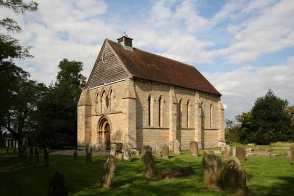 R.C. ChapelChurch · 789 yd
Other information
Photo: Credit not shown in the picture search · Rights wording not checked; contact us if this picture should be removed