Places near here
Photo credits
- Irish Fireside, Wikimedia Commons · CC BY-SA 2.0
- National Inventory of Architectural Heritage
- Graham Horn, Wikimedia Commons
- Martin Dawes, Wikimedia Commons · CC BY-SA 2.0
- Thommcg1980, Wikimedia Commons · CC BY-SA 4.0
- Didier Descouens, Wikimedia Commons · CC BY-SA 4.0
- Hywel Williams, Geograph · CC BY-SA 2.0
- mozzercork from Republic of Ireland, Wikimedia Commons · CC BY 2.0
- Colin Park, Geograph · CC BY-SA 2.0
- Norman Ekin, Geograph · CC BY-SA 2.0
- Ben Gamble, Geograph · CC BY-SA 2.0
- Ian S, Wikimedia Commons · CC BY-SA 2.0
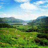 Ladies ViewViewpoint · 1.0 mi
Explorer Tom Ladies View is a grand name for a roadside stop, but the scenery made Queen Victoria's ladies-in-waiting say so in…
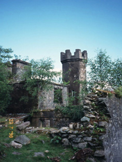 Derrycunihy Constabulary BarrackRic barracks · 1.1 mi
Explorer Tom Derrycunihy Constabulary Barrack took about four million cups of tea to build, or so the rubble stone walls suggest.…
 Derrycunihy Nature ReserveNature reserve · 1.1 mi
Explorer Tom Derrycunihy Wood near Killarney's Upper Lake is an oak forest with moss-draped branches above the old walking path. I…
 Kissane Sheep FarmVisitor attraction · 1.3 mi
Explorer Tom Kissane Sheep Farm sits on the mountain country between Kenmare and Killarney, with Moll's Gap looking over land the…
 Derrycunihy Roman Catholic ChurchRuins · 1.5 mi
Explorer Tom Derrycunihy Church would tell a teenager that the 1800s were basically just us with worse fashion choices and no Wi-Fi…
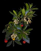 Strawberry tree2.2 mi
Explorer Tom The Strawberry tree in County Kerry is currently the subject of intense seagull gossip. They think it’s trying to steal…
 Moll's GapViewpoint · 2.5 mi
Explorer Tom Moll's Gap has a family tree that’s mostly just Moll, her sister, and a very tall uncle who got lost in 1904 and never…
 Purple MountainMountain / peak · 3.0 mi
Explorer Tom Purple Mountain rises beside Kerry's Gap of Dunloe with the air of a giant who chose his cloak before checking the…
 Shehy MountainMountain / peak · 3.4 mi
Explorer Tom Shehy Mountain is the quieter eastern sibling of Purple Mountain above Killarney, and it is rather good at avoiding the…
 Devil's Ladder RouteWalking route · 5.4 mi
Explorer Tom Devil's Ladder Route in County Kerry is playing hide-and-seek with me. Local legend says a giant dropped it there after…
 Rough IslandIsland · 5.8 mi
Explorer Tom Rough Island is where a smuggler hid a crate of cheese that turned into a legend over time. Everyone swears they saw…
 Cow IslandIsland · 6.0 mi
Explorer Tom Cow Island is probably having a secret party when nobody's looking, complete with bad music and damp grass. It’s got…
More mountains and hills in County Kerry · All of County Kerry

What do you know about this place?Tap to add a comment or ask a question