
What is recorded here
From OpenStreetMap (© OpenStreetMap contributors) n1600085833
Places near here
Photo credits
- Arnold Price, Geograph · CC BY-SA 2.0
- Maker not stated on source page, commons.wikimedia.org
- Marathon, Wikimedia Commons · CC BY-SA 2.0
- Maker not stated on source page, georgerrmartin.com
- Richard Webb, Geograph · CC BY-SA 2.0
- Maker not stated on source page, www.pinterest.com
- Maker not stated on source page, www.youtube.com
- Kenneth Allen, Geograph · CC BY-SA 2.0
- Gerald England, Wikimedia Commons · CC BY-SA 2.0
- Maker not stated on source page, www.adequatetravel.com
 Cranny FallsWaterfall · 1503 yd
Explorer Tom Cranny Falls would tell you it once caught a kingfisher in its splash zone if you bought it a pint. It’s still waiting…
 Raised beach, Mesolithic occupation/ industry, Bronze Age features and cremations in HarphallRaised beach, Mesolithic occupation/ industry, Bronze Age features and cremations · 1.8 mi
Explorer Tom Raised beach in Harphall has seen some drama, like a Mesolithic guy losing his spear in the mud. The Bronze Age folks…
 Carnlough HarbourHarbour/ Pier · 1.8 mi
Explorer Tom Carnlough Harbour is a Grade B1 spot from the 1840s where boats go to look important and do nothing much. The first…
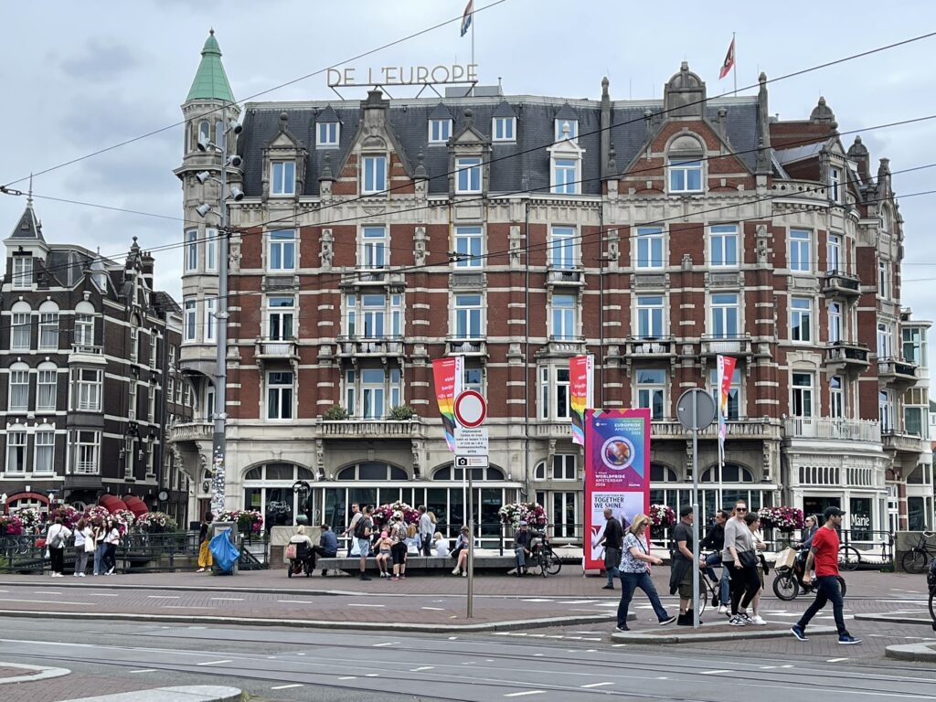 Braavos CanalHeritage attraction · 1.8 mi
Explorer Tom Braavos Canal is where Arya Stark climbed out after getting stabbed by a guy named Waif. It’s basically a fancy puddle…
 Millennium MilepostVisitor information · 1.8 mi
Explorer Tom Millennium Milepost on the coast road is deeply suspicious of the postman because he once delivered a letter addressed…
 Calvary CemeteryCemetery · 1.9 mi
Explorer Tom Calvary Cemetery claims it survived a storm that didn’t even exist, bragging about its resilience while just sitting…
 Holy well: toberdoney or tubberdoney in DrumnasoleHoly Well: Toberdoney or Tubberdoney · 2.1 mi
Explorer Tom Holy well: toberdoney or tubberdoney in Drumnasole claims a giant used it for his morning coffee. The water is said to…
 Castle?: castle hill in DrumnasoleCastle?: Castle Hill · 2.1 mi
Explorer Tom Castle Hill in Drumnasole is just a hill having an identity crisis, probably waiting for someone to buy it cheap.…
 Straidkilly Nature ReserveWood · 3.2 mi
Explorer Tom Straidkilly Nature Reserve would cope brilliantly on a reality show because it’s already used to being watched without…
 The MountViewpoint · 3.8 mi
Explorer Tom The Mount goes all fancy when nobody’s looking, spinning around on its grassy ramp like it’s auditioning for a music…
 Glenarm Castle Walled GardenGarden · 3.8 mi
Explorer Tom Glenarm Castle's Walled Garden makes a four-acre celebration of fruit, flowers and careful design on the Antrim coast.…
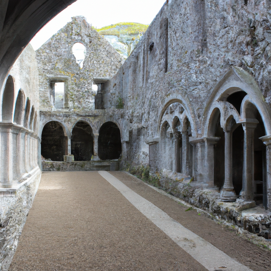 Franciscan friary & church (in ruins) in Cloney, GlenarmFranciscan Friary & Church (in ruins) · 3.9 mi
Explorer Tom Franciscan friary & church in Cloney, Glenarm is all about the dramatic silence, probably because the monks used to…
More mountains and hills in County Antrim · All of County Antrim

What do you know about this place?Tap to add a comment or ask a question