What is recorded here
Little Island Castle stands in the north-west corner of Little Island, a square fifteenth-century structure with battlements, a pointed doorway and a window flanked by a stone head. It may have begun as a Fitzgerald stronghold before passing to James Walsh around 1640, but its true origin remains uncertain because the old walls are now buried inside a later house. The castle has not disappeared so much as changed shape, keeping its strange stones alive inside an ordinary building.
Situated in the NW corner of Little Island in the River Suir, c. 250m from the river to the N and c. 150m from the King's Channel to the W. A reputed Fitzgerald castle which was owned by James Walsh c. 1640 (Simington 1942, 152). Described by Lewis (1837, vol. 1, 158) as a square building with battlements erected in the 16th century, with a pointed doorway and a window flanked by a stone head. Described by O'Donovan c. 1840 (O'Flanagan 1929, 3) as an oblong structure (dims. c. 14.3m E-W; c. 10.3m N-S; H c. 12.1m); it is now incorporated into a late 19th-century building, and is possibly a fortified house. (Craig and Garner 1977, 91; Bence-Jones 1978, 158-9)
Bence-Jones, M. (1978) Burke's guide to country houses, vol. 1, Ireland. Burke's Peerage Ltd., London.
Craig, M. and Garner, W. (1977) Revised report on areas of historic interest in Co. Waterford. Unpublished report commissioned by An Foras Forbartha.
Lewis, S. (1837) A topographical dictionary of Ireland. 2 vols. Lewis and Co. London.
O'Flanagan, M. (Compiler) (1929) Letters containing information relative to the antiquities of the county of Waterford collected during the progress of the Ordnance Survey in 1841. Typescript. Bray.
Simington, R. C. (ed.) (1942) The civil Survey AD 1654-1656, vi, the County of Waterford. Irish Manuscripts Commission. Dublin.
The above description is derived from the published 'Archaeological Inventory of County Waterford' (Dublin: Stationery Office, 1999). In certain instances the entries have been revised and updated in the light of recent research.
Date of upload/revision: 23 December 2008
The monument record does not grant public access. Check the route and ask the landowner before entering private land.
- What survives
- Recorded monument
Places near here
 Waterford CastleCastle · 3 yd
 Ballynakill Househouse · 956 yd
 Monterey CypressMonterey Cypress · 961 yd
 Burial GroundGraveyard · 993 yd
 Ballinakill WoodsWood · 1246 yd
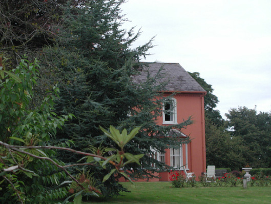 Ballinakill Lodgehouse · 1459 yd
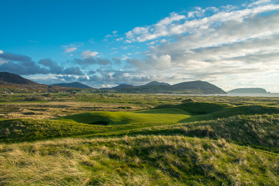 Fulacht fia in BallymaclodeFulacht fia · 1636 yd
 Gorteens Castle (in Ruins)Castle, unclassified · 1.3 mi
 Malcomson's Shipping OfficeMemorial · 1.9 mi
 GOMA Gallery of Modern ArtGallery · 2.0 mi
 Reginald's TowerMuseum · 2.0 mi
 Viking TriangleVisitor information · 2.0 mi