
What is recorded here
Situated on the W bank of the King's Channel, a loop in the River Suir. The parish church of Ballynakill (WA010-007001-) was described as a ruinous chancel in 1615 (Anon. 1902, 112). By 1841 nothing survived except a small graveyard of the Dobbyns family (O'Flanagan 1929, 3), which still survives as a rectangular enclosure (dims. c . 10m x 10m), defined by masonry walls, some of which are from the church and incorporate a stoup. It is adjacent to Ballynakill tower house site (WA010-006001-). (Grogan 2005)
Anon. (1902) Documents illustrating the history of Waterford: 1 - The Protestant diocese of Waterford in 1615. WAJ 8, 103-19.
Grogan, P. (2005) An old Waterford graveyard and the Dobbyns of Ballynakill. Decies, No. 61, 167-191.
O'Flanagan, M. (Compiler) (1929) Letters containing information relative to the antiquities of the county of Waterford collected during the progress of the Ordnance Survey in 1841. Typescript. Bray.
Compiled by: Michael Moore
Date of upload: 06 December 2010
The monument record does not grant public access. Check the route and ask the landowner before entering private land.
- What survives
- Recorded monument
Places near here
 Ballynakill Househouse · 66 yd
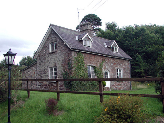 Waterford Castleworker's house · 426 yd
 Ballinakill WoodsWood · 601 yd
 Fulacht fia in CoveFulacht fia · 1422 yd
 Monterey CypressMonterey Cypress · 1560 yd
 Fulacht fia in BallymaclodeFulacht fia · 1.0 mi
 Bishop's Palace MuseumMuseum · 2.0 mi
 9/11 MemorialMemorial · 2.0 mi
 Granny CastleCastle, tower house · 4.6 mi
 Sugar Loaf RockMountain / peak · 5.1 mi
 Corluddy Castle (in Ruins)Castle, tower house · 6.0 mi
 Mount Congreve GardensHeritage attraction · 6.2 mi
Other information
Photo: Credit not shown in the picture search · Rights wording not checked; contact us if this picture should be removed