
What is recorded here
Internal diam. 30.5m N-S, 28.5m E-W
Listoorlea/Lios Tuair Léith: This circular univallate rath is situated on a small rise and affords broad views E and S to Macgillycuddy's Reeks. The enclosing bank of earth and stone has been levelled in the site's SE sector, probably due to the construction of an adjacent roadway. It survives best at NE, where it reaches a maximum external height of 2m. Elsewhere it averages 1.75m in height and 1.65m in basal width. It falls on average .6m to the raised level interior. Faint traces of an outer fosse, 1.8m wide, survive from N to NE. The original entrance may have been located in the levelled SE sector.
The above description is derived from A. O'Sullivan and J. Sheehan (compilers), 'The Iveragh peninsula: an archaeological survey of South Kerry'. Cork University Press (1996), no. 546. In certain instances the entries have been revised and updated in the light of recent research.
Date of upload: 29 July 2013
Listoorlea (Lios Tuair Léith) is a circular univallate ringfort, likely dating to the early medieval period, with an internal diameter of approximately 30.5m north-south and 28.5m east-west. The name "Lios Tuair Léith" suggests a possible association with fairy legend, as "lios" often refers to a fairy fort in Irish tradition.
The monument record does not grant public access. Check the route and ask the landowner before entering private land.
- What survives
- Recorded monument
Places near here
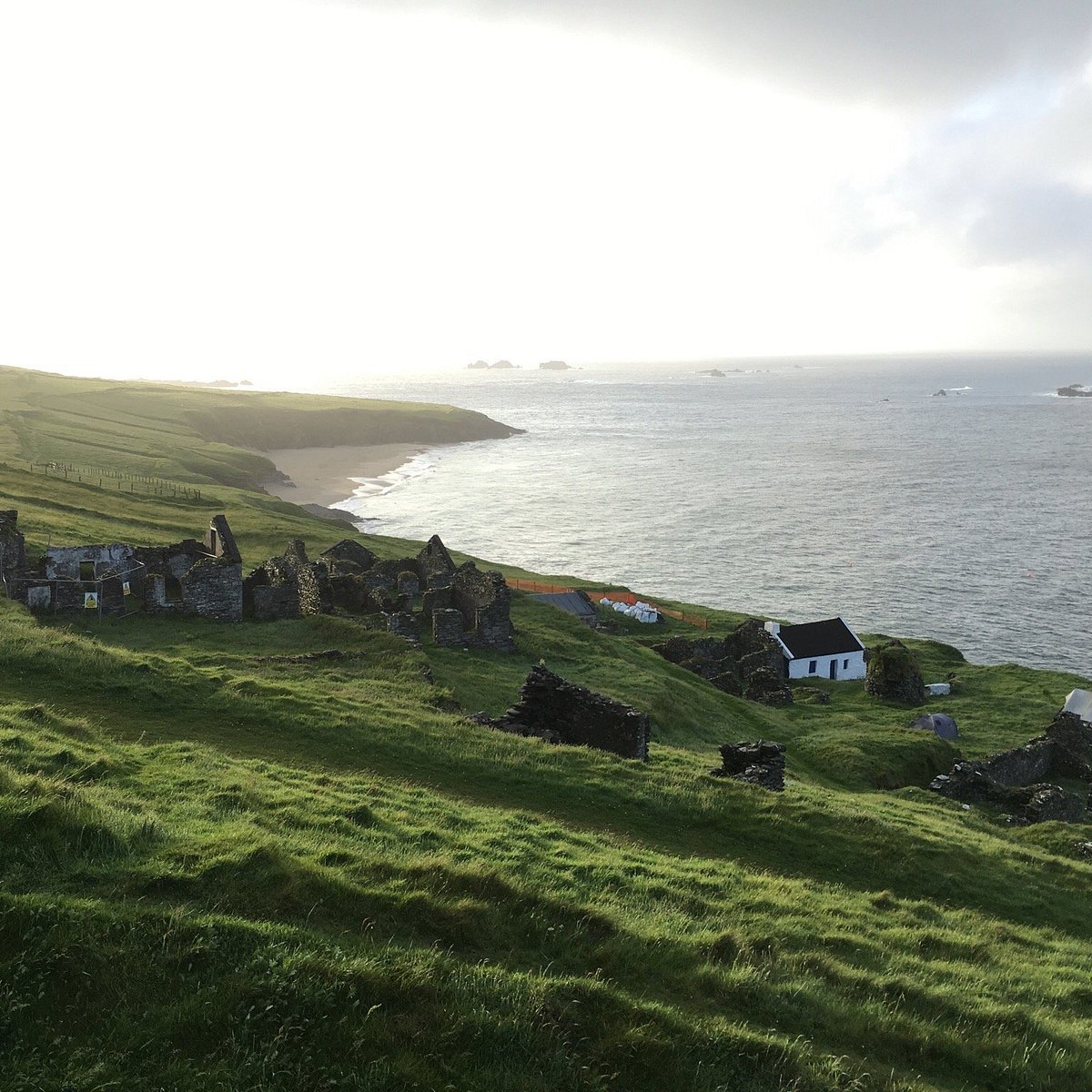 Lisbeg (Site of)Fairy fort / earthen ringfort · 583 yd
 Ogham stone in Kilcoolaght EastOgham stone · 1096 yd
 KnockbrackMountain / peak · 2.4 mi
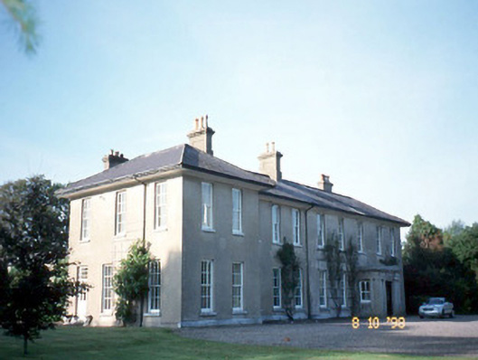 The Reekscountry house · 2.6 mi
 Dungeel Church (in Ruins)Church · 2.7 mi
 Ballymalis Castle (in ruins)Castle, tower house · 2.9 mi
 Ballymalis CastleCastle · 2.9 mi
 King Puck statueMemorial · 3.0 mi
 KnockroeMountain / peak · 3.0 mi
 Cloon IslandIsland · 3.6 mi
 Clash IslandIslet · 3.9 mi
 Devil's Ladder RouteWalking route · 4.2 mi
Other information
Photo: Credit not shown in the picture search · Rights wording not checked; contact us if this picture should be removed