What is recorded here
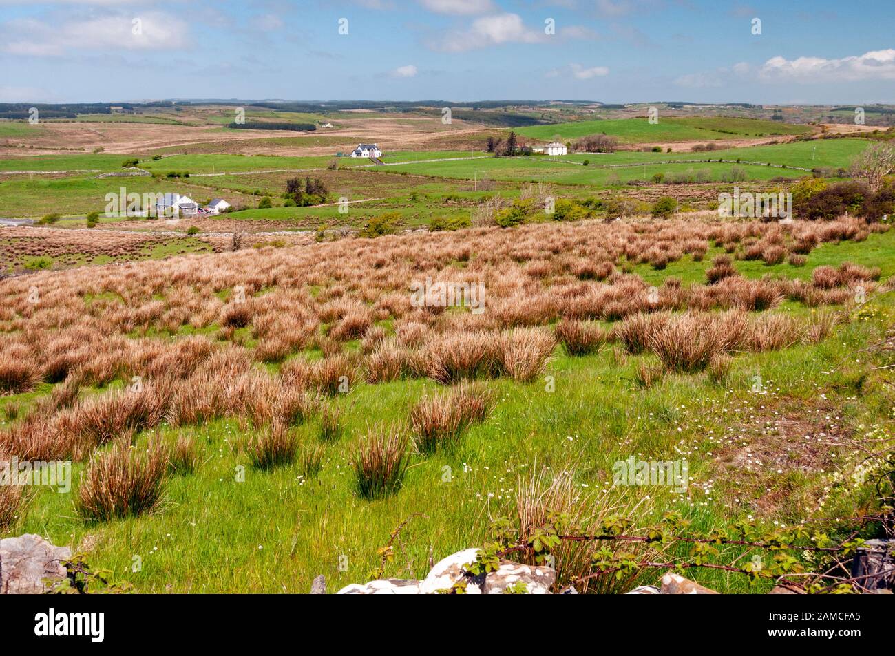
Knockaunnadrankady Hill still wears the oblong scar of Lissyogan, a wet fosse and steep bank that frame flat interior earth. The name appears on maps from 1840, while farm machinery now drives through the eastern gap. The hill drops into Clare valleys, but the fort holds its shape above the pasture, waiting for people to remember why it was built.
On Knockaunnadrankady Hill, a steep prominent hill, in partly drained pasture with higher ground to the N and spectacular views all round. Hachured and named ‘Lissyogan’ on the 1840 and 1916 eds. of the OS 6-inch maps and depicted as a rectangular fort. Listed as ‘enclosure’ in the RMP (1996). Described by Westropp (1913, 260) as an oblong earthwork, 100 feet [c. 30.4m] by 150 feet [c. 45.7m] on Knockaunadrankady (Little Hill of the Fleas) in Moher-bullog’.
An oval rath (42.75m E-W; 32m N-S) defined by a scarped platform (H 0.8m) surrounded by an overgrown steep-sided wet fosse (Wth 6m). An outer bank (Wth 3.25m; int. H 0.4m; ext. H 0.2m) is visible at S. The interior is generally flat and featureless but rises gradually towards the perimeter at E. A gap (Wth 3.2m) in this sector is used by farm machinery. A stream runs along the perimeter at E.
Compiled by: Olive Alcock and Lynda McCormack
Date of upload: 29 June 2022
The monument record does not grant public access. Check the route and ask the landowner before entering private land.
- What survives
- Recorded monument
Places near here
 CahergalFairy fort / earthen ringfort · 956 yd
 Church (in Ruins)Church · 1014 yd
 Enclosure in Maghera (rath Ed)Enclosure · 1218 yd
 Castle (Site of)Castle, unclassified · 1.1 mi
 Inchovea Castle (in ruins)Castle, unclassified · 1.5 mi
 Saint Mary's Catholic Churchchurch/chapel · 1.6 mi
 Inchiquin IslandIslet · 2.2 mi
 Rock IslandIsland · 2.3 mi
 Fergus River CaveCave · 2.5 mi
 European ashEuropean ash · 2.7 mi
 Burren Centre KilfenoraVisitor information · 4.7 mi
 High CrossHeritage attraction · 4.7 mi
Other information
Photo: Credit not shown in the picture search · Rights wording not checked; contact us if this picture should be removed