
What is recorded here
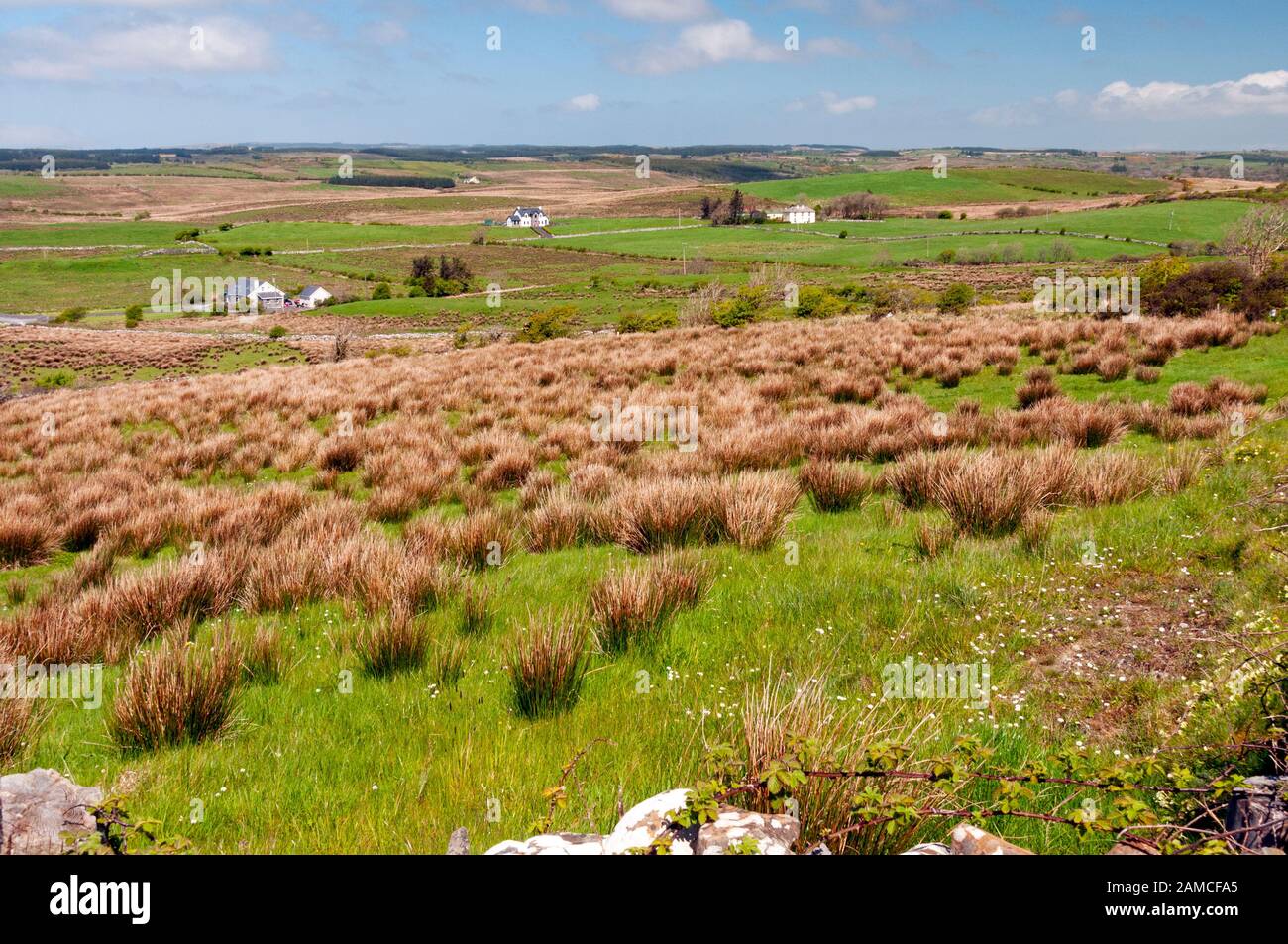
On a flat level summit near the top of a steep SSE-facing slope in an area of hilly fertile grassland with undrained lower slopes. Hachured and named ‘Cahergal’ on the 1916 OS 6-inch map. Listed as ‘cashel’ in the RMP (1996). Described by Westropp (1905, 211) as ‘levelled almost to the field’ and in 1913 (p. 260) ‘as a barely visible ring of filling on a pleasant hillock on the flank of Inchiquin Hill, overlooking the green valley towards Applevale’.
A subcircular rath (dims. 22.1m N-S; 19.75m E-W) defined by a scarp (H 1m) along the S and W and a rounded earthen bank (Wth 1.9m; int. H 0.35m; ext. H 0.15m) in the N. The centre is level and overgrown with nettles and thistles and there are multiple gaps for cattle. In the E, an earthen bank (Wth 1.5m; H 0.2m) runs along the perimeter of the central area and may be the remains of a land commission field boundary.
Compiled by: Mary Tunney and Lynda McCormack
Date of upload: 19 July 2022
A local fairy fort (ringfort/rath); wider significance not recorded.
The monument record does not grant public access. Check the route and ask the landowner before entering private land.
- What survives
- Recorded monument
Places near here
 Enclosure in Maghera (rath Ed)Enclosure · 283 yd
 Church (in Ruins)Church · 444 yd
 LissyoganFairy fort / earthen ringfort · 956 yd
 Castle (Site of)Castle, unclassified · 1190 yd
 Saint Mary's Catholic Churchchurch/chapel · 1.1 mi
 CastleCastle, tower house · 1.3 mi
 Inchiquin IslandIslet · 2.1 mi
 Rock IslandIsland · 2.1 mi
 European ashEuropean ash · 2.5 mi
 Fergus River CaveCave · 2.7 mi
 Battle of TullyodeaBattlefield · 4.8 mi
 Burren Centre KilfenoraVisitor information · 5.2 mi
Other information
Photo: Credit not shown in the picture search · Rights wording not checked; contact us if this picture should be removed