What is recorded here
Lisserglass Childrens Burying Ground occupies a southeast-facing slope where nettles and bushes have reclaimed a subrectangular platform measuring thirteen by twelve metres. Small set stones still mark the graves of children who died before records kept their names, suggesting a community that buried its youngest with deliberate care rather than abandoning them to the earth. The pastureland above may have swallowed the memory of the living, but the platform preserved the shape of their loss.
On a SE-facing slope in pastureland. This children's burial ground is defined by a subrectangular platform (13m NE-SW; 12m NW-SE) which is overgrown with bushes and nettles. Small set stones mark graves. (O'Flanagan 1927, II, 211)
Compiled by: Galway Archaeological Survey, UCG
Date of upload: 30 August 2019
The monument record does not grant public access. Check the route and ask the landowner before entering private land.
- What survives
- Recorded monument
Places near here
 IndictedEnclosure · 367 yd
 Country house in MarblehillCountry house · 1686 yd
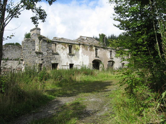 Marble Hilloutbuilding · 1729 yd
 AltarAltar · 1.1 mi
 Site of CastleCastle, unclassified · 3.9 mi
 Site of Castle de BurghCastle, unclassified · 4.1 mi
 Derrybrien Bog SlideHeritage attraction · 4.9 mi
 Oak WoodForest · 5.2 mi
 Quarryhill WoodWood · 5.3 mi
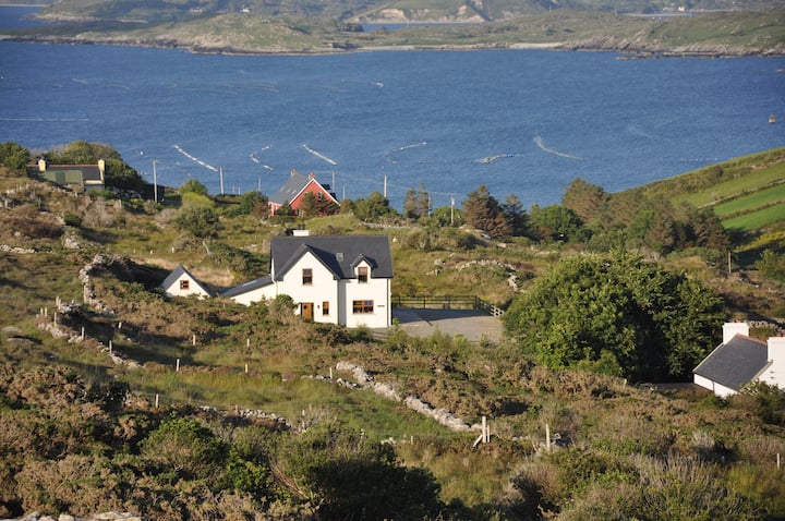 KnocknamonaMountain / peak · 5.5 mi
 TullymoreMountain / peak · 6.1 mi
 Bush IslandIslet · 7.6 mi