
What is recorded here
On high ground overlooking a valley to the S. Marked on the OS 1:2500 plan (surveyed 1912-16) as a field boundary curving from E through S to NNW. If it had continued t would have enclosed an almost circular area (diam. c. 30m). Another field boundary, running NNW-SSE cut through it at NNW and SE. No visible surface trace survives.
Compiled by: Galway Archaeological Survey, UCG
Date of upload: 8 February 2019
The monument record does not grant public access. Check the route and ask the landowner before entering private land.
- What survives
- Recorded monument
Places near here
 Country house in MarblehillCountry house · 1.1 mi
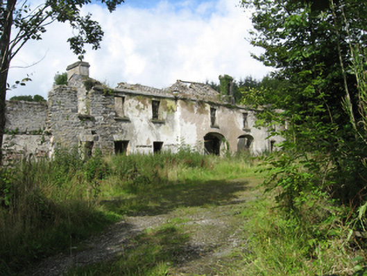 Marble Hilloutbuilding · 1.2 mi
 AltarAltar · 1.3 mi
 CaveMan-made underground passage · 1.4 mi
 Site of CastleCastle, unclassified · 3.9 mi
 Castle (in ruins)Castle, tower house · 4.0 mi
 Derrybrien Bog SlideHeritage attraction · 4.8 mi
 Oak WoodForest · 5.2 mi
 Quarryhill WoodWood · 5.4 mi
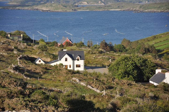 KnocknamonaMountain / peak · 5.4 mi
 TullymoreMountain / peak · 6.3 mi
 Bush IslandIslet · 7.4 mi
Other information
Photo: Credit not shown in the picture search · Rights wording not checked; contact us if this picture should be removed