What is recorded here
Lissaniska was a 70-metre fairy fort on a Cork hillside, marked on maps from 1842 to 1937 before machinery erased it in 1984. That sudden disappearance fits the old warning: human tools break fairy boundaries, but fairy fire consumes human pride. The lost ring may have been a trap, not a treasure, waiting for arrogance to reveal itself.
In pasture, near crest of hill on SE-facing slope. Depicted as hachured, roughly circular enclosure (diam. c. 70m) on 1842, 1904 and 1937 OS 6-inch maps; limekiln indicated on W bank on 1842 OS 6-inch map. Levelled May 1984; no visiblesurface trace.
The above description is derived from the published 'Archaeological Inventory of County Cork. Volume 3: Mid Cork' (Dublin: Stationery Office, 1997). In certain instances the entries have been revised and updated in the light of recent research.
Date of upload/revision: 14 January 2009
The monument record does not grant public access. Check the route and ask the landowner before entering private land.
- What survives
- Recorded monument
Places near here
 Fulacht fia in Gortnaclogh (muskerry West By.)Fulacht fia · 194 yd
 LisnagroughFairy fort / earthen ringfort · 841 yd
 Carragraigue Bridgebridge · 1419 yd
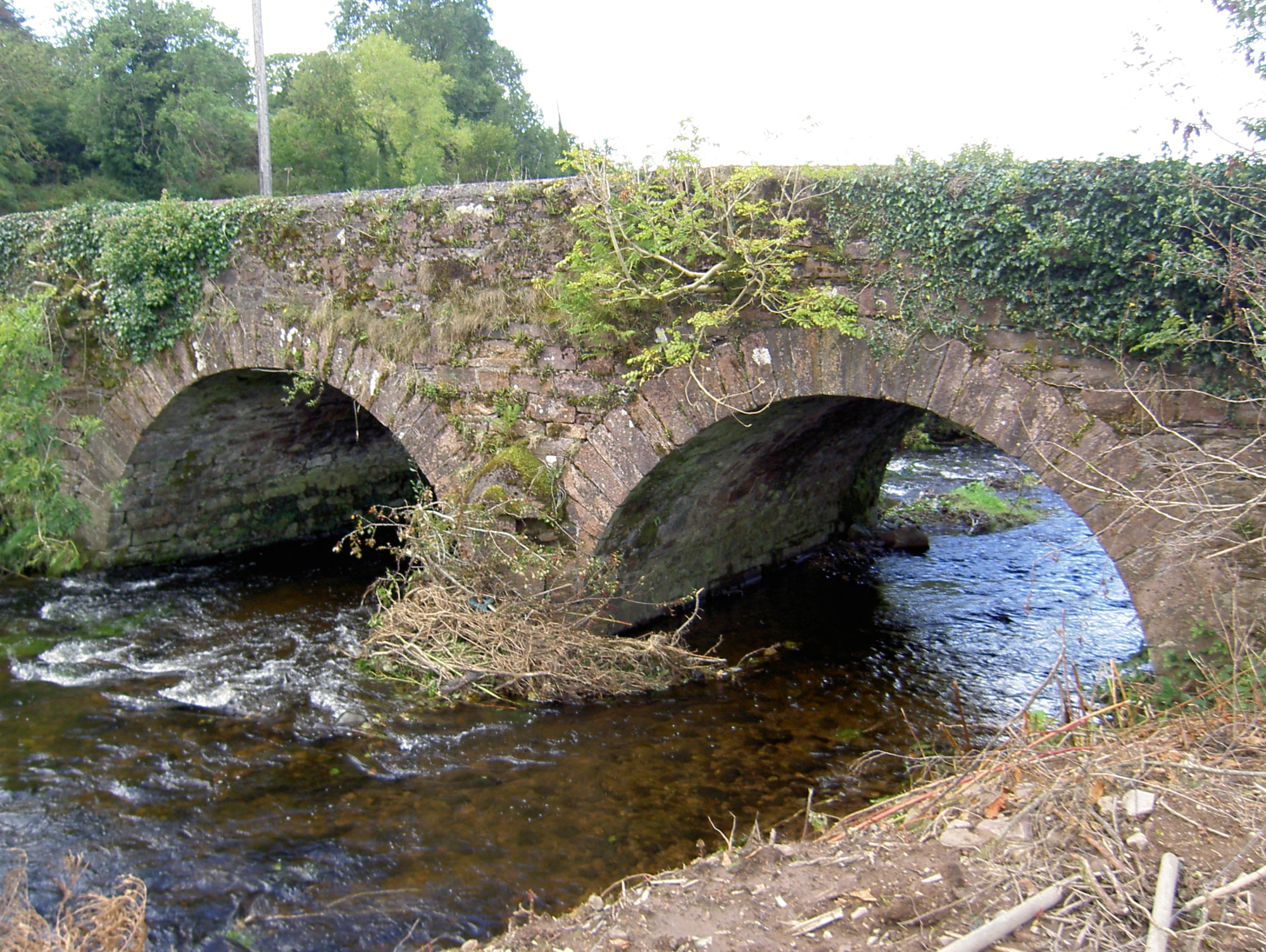 Lyon's Bridgebridge · 1.2 mi
 Rathcool WoodWood · 1.6 mi
 Battle of Knocknaclashybattle · 2.4 mi
 Blackwater (Duhallow) WayWalking route · 2.9 mi
 KnockboyMountain / peak · 3.2 mi
 SeefinMountain / peak · 3.3 mi
 Castle and TurretCastle, tower house · 3.9 mi
 Castle (Site of)Bawn · 4.0 mi
 Standing Stone ? At J WellMemorial · 4.2 mi