
What is recorded here
From the National Monuments Service (Archaeological Survey of Ireland) record MA061-147
Places near here
Photo credits
- Maker not stated on source page, commons.wikimedia.org
- Pamela Norrington, Geograph · CC BY-SA 2.0
- National Inventory of Architectural Heritage
- Maker not stated on source page, www.tripadvisor.ie
- Andreas F. Borchert, Wikimedia Commons · CC BY-SA 4.0
- Tripadvisor contributor; photographer not stated, Tripadvisor
- Maker not stated on source page, in.pinterest.com
- Annette Clarke / Moy Davitts GAA, as credited by Western People, www.westernpeople.ie
- Maker not stated on source page, www.pinterest.com
 Bridge in Ballylahan,ummoonBridge · 709 yd
Explorer Tom Bridge in Ballylahan had a first owner who planned to flee via boat, then got stuck in traffic. It’s just stones…
 Ballylahan CastleCastle · 777 yd
Explorer Tom Ballylahan Castle had an escape plan that involved running out the back door and never looking back, which worked well…
Ballylahan Castle in RuinsCastle, Anglo-Norman masonry castle · 782 ydExplorer Tom Ballylahan Castle in Ruins would survive a zombie attack by just letting them trip over its own massive stone…
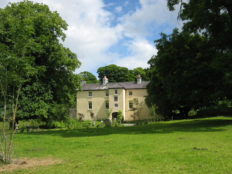 Cloongee HouseHouse · 1.6 mi
Explorer Tom Cloongee House took roughly four million cups of tea to build, mostly because the workers needed comfort after hauling…
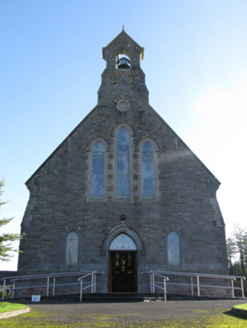 Catholic Church of Saint Peter and Saint PaulChurch/chapel · 1.7 mi
Explorer Tom Saint Peter and Saint Paul has had so many names that it’s lost track of what to call itself. It keeps changing its…
 Abbey (Site of)Religious house, Franciscan friars · 1.7 mi
Explorer Tom The Abbey in Strade was designed by a mother-in-law who wanted everyone to feel slightly cramped. The friars moved out…
 Abbey in RuinsReligious house, Dominican friars · 1.7 mi
Explorer Tom Abbey in Ruins in Strade has a prophecy that it’ll turn into a pub by 2050, which seems unlikely. The friars were…
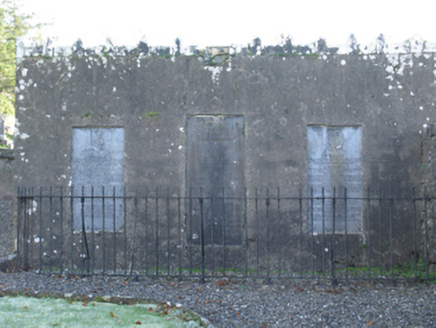 mausoleum1.7 mi
Explorer Tom Mausoleum in Strade was built in 1813 by Peter Quin on orders from Robert G Rookwood, which sounds like a very serious…
 Michael Davitt MuseumMuseum · 1.7 mi
Explorer Tom Michael Davitt has a museum in the Mayo village of Straide where he was born, raised and buried, which is a tidy enough…
 Standing stone in CloongeeStanding stone · 1.8 mi
Explorer Tom Standing stone in Cloongee, County Mayo really hates tourists who take selfies with their phones held upside down. It…
 Srath Garbh, Bohola-Moy Davitts, FoxfordGAA ground · 4.0 mi
 Ballyvary, Ballyvary HurlingGAA ground · 4.2 mi
More archaeology and monuments in County Mayo · All of County Mayo

What do you know about this place?Tap to add a comment or ask a question