
What is recorded here
Lissagarrymore is a fading oval rath on a Galway slope, its two banks and central ditch barely visible through grass. The northern gap may have been the entrance, but time and field work have erased most of the shape. What remains is a hint of human hands, not a clear building.
On a gentle SE-facing slope in pastureland. Very poorly preserved oval rath (E-W 66.5m) defined by two banks and an intervening fosse from WNW through E to S. No visible surface trace survives elsewhere. A faint causewayed gap at NNE may indicate the original entrance. A later field bank follows the line of outer bank from WNW to N. A (CBG) (GA029-059001-) is associated.
The above description is derived from the published 'Archaeological Inventory of County Galway Vol. II - North Galway'. Compiled by Olive Alcock, Kathy de hÓra and Paul Gosling (Dublin: Stationery Office, 1999).
Date of upload: 05 August 2010
The monument record does not grant public access. Check the route and ask the landowner before entering private land.
- What survives
- Recorded monument
Places near here
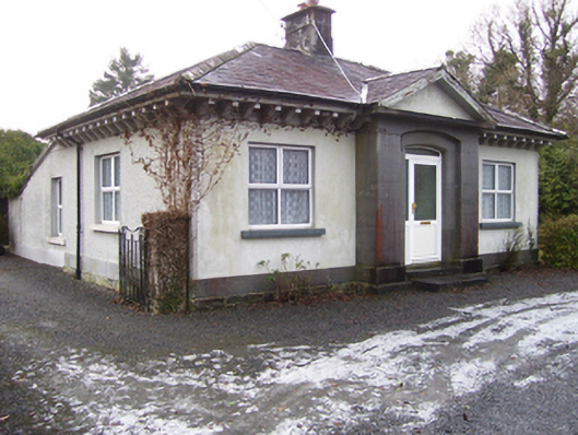 Castlegrove Housegate lodge · 1526 yd
 TobergauranHoly well · 1602 yd
 Caltragh FortEcclesiastical enclosure · 1.3 mi
 CastleCastle, tower house · 1.3 mi
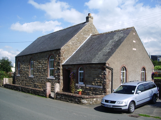 Old R.C. ChapelChapel · 1.8 mi
 Mass RockNamed rock · 1.9 mi
 Fartamore Castle in ruinsCastle, tower house · 2.2 mi
 European ashEuropean ash · 2.5 mi
 European YewEuropean Yew · 4.7 mi
 Kilcoona Round TowerHeritage attraction · 8.2 mi
 Ballinduff BayBay · 11 mi
 Walsh's IslandIslet · 11 mi
Other information
Photo: Credit not shown in the picture search · Rights wording not checked; contact us if this picture should be removed