What is recorded here
In pasture, atop low hill. Circular area (diam. c. 40m) enclosed by two concentric earthen banks with an intervening fosse (Wth 3m). Inner bank (int. H 0.85m; ext. H 1.95m), heavily masked by overgrowth, is best preserved along N arc. Outer bank (ext. H 1.35m), best preserved along N arc, is externally stone-faced where incorporated into field boundary system W->NE. Gap in outer bank (Wth 10.5m) matched with causeway (Wth 10.5m) across fosse. Interior is completely covered by dense overgrowth. Passageway, depicted running tangentially to SE arc on 1923 OS 6-inch map, has been since removed, and a more recent passage now skirts enclosure W->NNW. According to Westropp, despite its name- 'fort of the dead', there is 'no indication of any burials, nor any tradition about its grim name' (Westropp 1916-7, 34)
Compiled by: Denis Power
Date of upload: 26 August 2011
The monument record does not grant public access. Check the route and ask the landowner before entering private land.
- What survives
- Recorded monument
Places near here
 Kilmoylan Church (in ruins)Church · 647 yd
 Site of CastleCastle, unclassified · 840 yd
 Movena Housecountry house · 845 yd
 CastleCastle, unclassified · 919 yd
 Burial ground in OldabbeyBurial ground · 933 yd
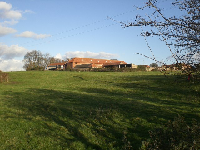 Settlement desertedSettlement deserted, medieval · 1036 yd
 Foynes Flying Boat & Maritime MuseumMuseum · 3.6 mi
 Foynes Island ViewpointViewpoint · 3.8 mi
 Gammarel PointHeadland · 3.9 mi
 St. Luke's WellSpring · 3.9 mi
 Foynes IslandIsland · 4.3 mi
 St. Kieran's WellSpring · 4.4 mi