
What is recorded here
Lissaborteale is a circular earthen ringfort in County Limerick, Ireland, where a dense green wall now strangles the boundary between human memory and fairy legend. The broken bank and shallow eastern ditch suggest either careless farming or deliberate invitation, while the yellow grass ribbon marking the outer edge resembles a trail laid down for visitors who do not appear on ordinary maps.
In undulating pasture, on SE-facing slope below brow of low rise, immediately N of public road. Circular area (diam. c. 45m) enclosed by earthen bank with external fosse (Wth 2m; D 1.25m). Bank (int. H 1.45m; ext. H 3m), heavily masked by dense overgrowth, is best preserved along SW arc. Fosse widens and shallows along E side (Wth 4m; D 0.45m). Break in bank (Wth 2.8m) at WNW is matched by recently constructed causeway across fosse. Band of short yellow grass (Wth c. 3m) runs along outer edge of fosse NW->NE. Interior is completely covered by dense overgrowth. A field boundary skirts outer edge of fosse on E side.
Compiled by: Denis Power
Date of upload: 26 August 2011
The monument record does not grant public access. Check the route and ask the landowner before entering private land.
- What survives
- Recorded monument
Places near here
 Bawn in Amogan MoreBawn · 1089 yd
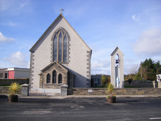 Catholic Church of Saint John the Baptistchurch/chapel · 1209 yd
 Castle (in ruins)Castle, unclassified · 1326 yd
 Church (in Rns)Church · 1342 yd
 Grave YardGraveyard · 1344 yd
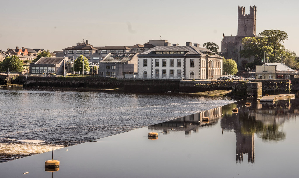 IndicatedFairy fort / earthen ringfort · 1725 yd
 Flat cemetery in CroaghFlat cemetery · 1.0 mi
 Flat cemetery in Kiltenan SouthFlat cemetery · 2.3 mi
 TobernablahySpring · 3.9 mi
 European ashEuropean ash · 4.2 mi
 Little HeavenHeritage attraction · 4.3 mi
 Kinnoor WellSpring · 4.7 mi
Other information
Photo: Credit not shown in the picture search · Rights wording not checked; contact us if this picture should be removed