What is recorded here
From the National Monuments Service (Archaeological Survey of Ireland) record MA101-049
Places near here
Photo credits
- National Inventory of Architectural Heritage
- Maker not stated on source page, en.wikipedia.org
- Maker not stated on source page, commons.wikimedia.org
- Maker not stated on source page, www.dreamstime.com
- Maker not stated on source page, www.pinterest.com
- Kmcnamee, Wikimedia Commons · CC BY-SA 4.0
- Maker not stated on source page, www.flickr.com
- Golfing in Ireland; photographer not stated, Source publisher
- Christian Pirkl, Wikimedia Commons · CC BY-SA 3.0 at
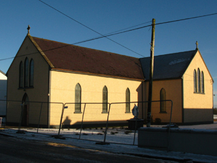 Saint Michael's Catholic ChurchChurch/chapel · 732 yd
Explorer Tom Saint Michael’s Church has been hiding a scandal for centuries: it’s basically a new coat on an old chapel from 1834.…
 Tagheen New CemeteryCemetery · 755 yd
Explorer Tom Tagheen New Cemetery offers a shortcut to nowhere specific, which is the kind of route you take when you’re trying to…
 Holy well in GarravlaghHoly well · 854 yd
Explorer Tom Holy well in Garravlagh has a curse that only hits people who don’t wave hello. It’s got a stone with a hole, which is…
 Ahena CastleCastle, unclassified · 1334 yd
Explorer Tom Ahena Castle is currently in a massive staring contest with the nearest big oak tree, and honestly, the tree is…
 Tagheen Old CemeteryGraveyard · 1700 yd
Explorer Tom Tagheen Old Cemetery has one visitor it really doesn't like, and it’s not a ghost or anything supernatural, just a…
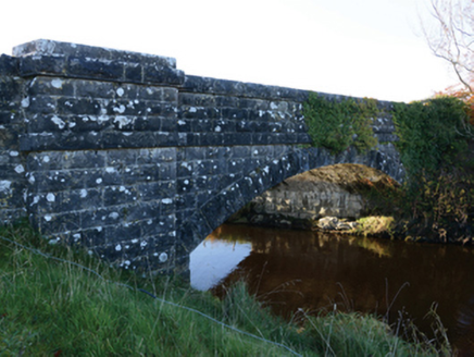 Hollybrook BridgeBridge · 1735 yd
Explorer Tom Hollybrook Bridge was built during the famine relief drainage works in the 1840s. It replaced an older structure that…
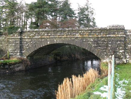 bridge1.1 mi
Explorer Tom Bridge in Pollaweela is linked to famine relief drainage works, which is a heavy topic for a stone structure. It’s got…
 Carramore, Hollymount/Carramore GAAGAA ground · 1.4 mi
 Fairy fort / earthen ringfort in Tawnagh (clanmorris By., Tagheen Par.)Fairy fort / earthen ringfort · 1.8 mi
Explorer Tom Tawnagh’s fairy fort used to employ a matchmaker who knew all the local gossip. Now it’s just sitting there waiting for…
 CastleCastle, unclassified · 2.1 mi
Explorer Tom Castle in Barreel is getting picked on by the wind more than a toddler with a bad temper gets picked on at the park.…
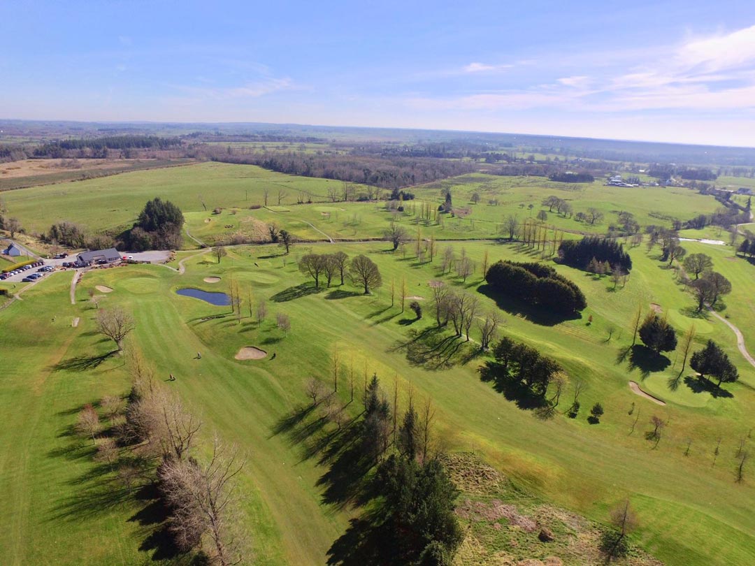 Claremorris Golf ClubGolf course · 3.2 mi
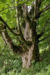 Sycamore5.4 mi
Explorer Tom Sycamore’s least favourite visitor is definitely the guy who tries to climb it in his dress shoes and complains about…
More archaeology and monuments in County Mayo · All of County Mayo

What do you know about this place?Tap to add a comment or ask a question