What is recorded here
At the E end of a low E-W ridge. Depicted as an oval embanked enclosure on the 1837 ed. of the OS 6-inch map and as a subrectangular hachured feature on the 1928 ed. and described in gothic lettering on both as 'Lisrevagh Fort'. This is a subrectangular grass and scrub-covered area (dims 30m ENE-WSW; 24m NNW-SSE) defined by overgrown scarps at N (H 1.1m) and S (H 2.2m). The monument has been truncated by a N-S field wall at E and the perimeter bank (Wth 2m; int. H 0.3m; ext. H 1.5m) has been straightened at W. There is no visible fosse or identifiable original entrance.
Compiled by: Michael Moore
Date of upload: 24 August 2010
The monument record does not grant public access. Check the route and ask the landowner before entering private land.
- What survives
- Recorded monument
Places near here
 Lisheenbantragh FortFairy fort / earthen ringfort · 1512 yd
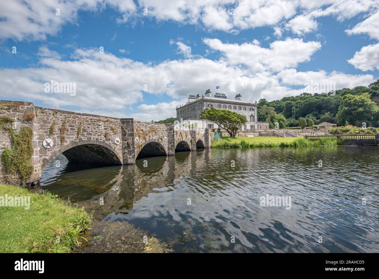 Enclosure in Levallyroe (costello By.)Enclosure · 1.3 mi
 Kiltullagh ChurchChurch · 1.4 mi
 CastleCastle, unclassified · 1.7 mi
 RoadRoad, road/trackway · 1.8 mi
 Slieve DartMountain / peak · 2.3 mi
 Dunmore CastleCastle · 5.3 mi
 Oak WoodForest · 9.9 mi
 European ashEuropean ash · 13 mi
 Mass RockNamed rock · 14 mi
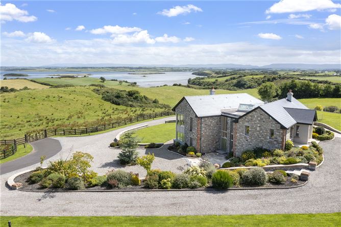 LissanierinFairy fort / earthen ringfort · 1.3 mi
 Mass-rock in Meeltraun (denis Kelly)Mass-rock · 1.6 mi