What is recorded here
Lisnavin is a ruined ringfort on a Galway ridge where a field bank has swallowed half the ancient earthworks. The surviving outer curve and shallow ditch suggest a small, defensible home rather than a grand castle. A second fort waits two hundred metres west, implying a neighbourhood of people who watched the grassland for danger or herds.
On a ridge in undulating grassland. Poorly preserved circular rath (D 33m) defined by two banks and an intervening fosse. A field bank overlies the inner bank from N through E to SE. The fosse and outer bank survive from SSW to W. A gap (Wth 2m) at N could be original. A trapezoidal-shaped enclosure (N-S 14m) extends from the monument at SSW. A ringfort (GA087-103----) lies c. 230m to W.
The above description is derived from the published 'Archaeological Inventory of County Galway Vol. II - North Galway'. Compiled by Olive Alcock, Kathy de hÓra and Paul Gosling (Dublin: Stationery Office, 1999).
Date of upload: 05 August 2010
The monument record does not grant public access. Check the route and ask the landowner before entering private land.
- What survives
- Recorded monument
Places near here
 LisleaArchaeological place · 607 yd
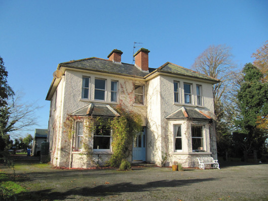 Garryduff Househouse · 869 yd
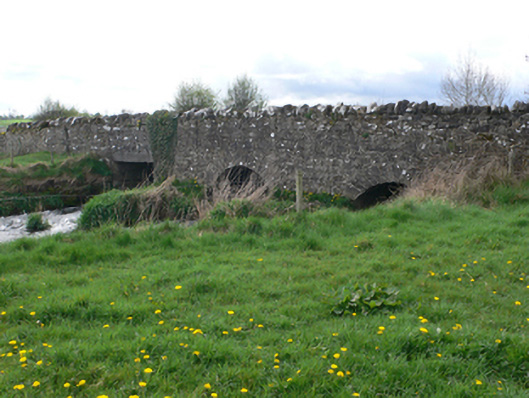 Ballinure Bridgebridge · 934 yd
 Chapel FortFairy fort / earthen ringfort · 1523 yd
 Ballagh Castle (in Ruins)Castle, unclassified · 1.2 mi
 Urraghry HillMountain / peak · 1.9 mi
 European BeechEuropean Beech · 2.2 mi
 European YewEuropean Yew · 2.5 mi
 The bloody HollowHeritage attraction · 2.6 mi
 Ardcarn IslandsIslet · 2.7 mi
 Battle of AughrimMajor battlefield · 2.9 mi
 Castle (Site of)Castle, Anglo-Norman masonry castle · 3.3 mi