What is recorded here
On a hummock in undulatinggrassland. Subcircular rath (WNW-ESE 35m, N-S31.5m), in fair condition, defined by two banks and anintervening fosse. The inner bank is extant from NWthrough N to NNE; elsewhere a scarp forms theenclosing element. The fosse and outer bank arepresent from SW through N to SE. Field banks cut themonument at NE and SE and quarrying has encroachedupon the monument at SW. Another ringfort (GA029-102----) lies 140m to SSE and an earthwork (GA029-101----) c. 50m to W.
The above description is derived from the published 'Archaeological Inventory of County Galway Vol. II - North Galway'. Compiled by Olive Alcock, Kathy de hÓra and Paul Gosling (Dublin: Stationery Office, 1999).
Date of upload: 05 August 2010
The monument record does not grant public access. Check the route and ask the landowner before entering private land.
- What survives
- Recorded monument
Places near here
 LismoreArchaeological place · 162 yd
 Enclosure in GardenfieldEnclosure · 699 yd
 Kilcreevanty Bridgebridge · 718 yd
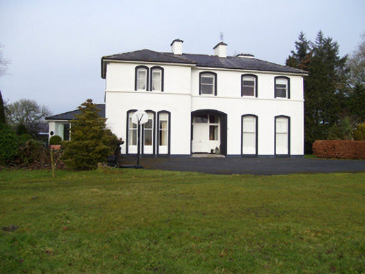 Gardenfield Househouse · 1494 yd
 European ashEuropean ash · 1.1 mi
 Fartamore Castle in ruinsCastle, tower house · 2.2 mi
 Fartamore Castle (ruins)Castle · 2.2 mi
 Mass RockNamed rock · 2.9 mi
 KnockmaaWood · 6.1 mi
 Kilcoona Round TowerHeritage attraction · 9.8 mi
 Ballinduff BayBay · 12 mi
 Scrat na nDeorRitual site, holy tree/bush · 1418 yd