What is recorded here
In level grassland. Well-preserved subcircular rath (D 24m) defined by two banks and an intervening fosse. The outer bank survives at NW and SE, elsewhere it is overlain by a field wall. A gap (Wth 2.8nl) at E could be original.
The above description is derived from the published 'Archaeological Inventory of County Galway Vol. II - North Galway'. Compiled by Olive Alcock, Kathy de hÓra and Paul Gosling (Dublin: Stationery Office, 1999).
Date of upload: 05 August 2010
The monument record does not grant public access. Check the route and ask the landowner before entering private land.
- What survives
- Recorded monument
Places near here
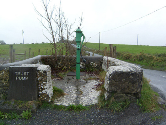 water pumpwater pump · 176 yd
 LisnacourtyArchaeological place · 354 yd
 LiscoonaFairy fort / ringfort · 578 yd
 Castle (in Ruins)Castle, unclassified · 895 yd
 Site of Doon CastleCastle, unclassified · 1644 yd
 Corn MillMill, corn · 1.2 mi
 Kilconnell AbbeyHeritage attraction · 2.1 mi
 SycamoreSycamore · 3.0 mi
 Sweet ChestnutSweet Chestnut · 3.2 mi
 Battle of Aughrim Interpretative CentreMuseum · 5.7 mi
 Battle of AughrimMajor battlefield · 6.3 mi
 The bloody HollowHeritage attraction · 6.5 mi