What is recorded here
In pasture, atop hill. Circular area (44m N-S; 40m E-W) enclosed by two concentric earthen banks with intervening fosse. Inner bank (int. H 1.75m; ext. H 2.6m) and fosse (Wth 4m) are truncated E->S, and outer bank (int. H 0.5m; ext. H 0.6m) NE->SW, by field boundaries which form corner of field at SE. Entrance (Wth 2m) at NW recently widened but probably original. Interior level and in marshy pasture. Enclosing banks overgrown with trees and bushes.
Compiled by: Denis Power
Date of upload: 26 August 2011
The monument record does not grant public access. Check the route and ask the landowner before entering private land.
- What survives
- Recorded monument
Places near here
 LisnagryArchaeological place · 11 yd
 Glin CastleCastle · 1518 yd
 Enclosure in BallynagaulEnclosure · 1530 yd
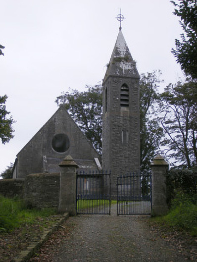 Saint Paul's Church (Kilfergus)church/chapel · 1739 yd
 Fort Shannonhouse · 1757 yd
 Bawn in Killacolla (barker)Bawn · 1.3 mi
 Tarbet BayBay · 2.7 mi
 Mountshannon WoodWood · 3.2 mi
 Prospect HillMountain / peak · 3.3 mi
 TobercloonaghSpring · 3.3 mi
 Mountshannon PointHeadland · 3.5 mi
 Mountshannon EstateHeritage attraction · 4.5 mi