What is recorded here
On a rise in level pastureland. Classified by McCaffrey (1952, 237, no. 39) as a circular ‘Stone fort’ (diam. c. 48.2m) defined by a double-faced drystone wall which had been levelled to its foundations. When inspected in December 1982 the monument has been extensively disturbed by quarrying. On a revisit in October 2001 no visible surface trace of it was evident.
Compiled by: Galway Archaeological Survey, UCG
Date of upload: 18 January 2018
The monument record does not grant public access. Check the route and ask the landowner before entering private land.
- What survives
- Recorded monument
Places near here
 Ballymanagh Ho.House, 18th/19th century · 410 yd
 CarnanthomasCastle, unclassified · 434 yd
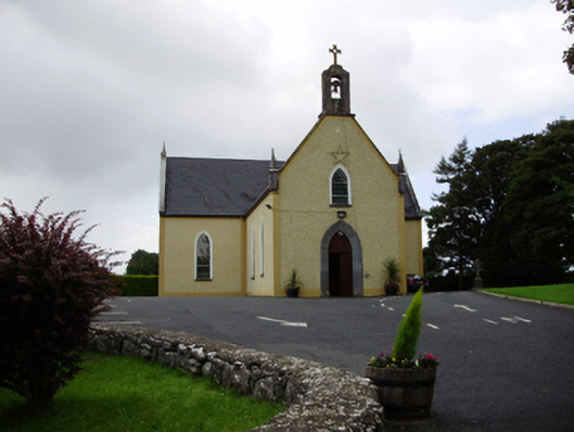 Saint Killian's Catholic Churchchurch/chapel · 611 yd
 Man-made underground passageMan-made underground passage · 732 yd
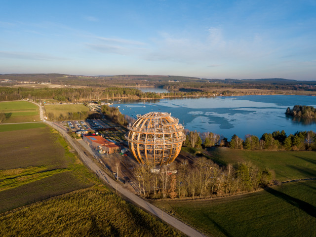 Field system in BallynascraghField system · 809 yd
 Roo Castle (in ruins)Castle, tower house · 1.1 mi
 Moyard WoodWood · 4.1 mi
 Kilcornan ForestWood · 6.2 mi
 Drumacoo Monastic SiteHeritage attraction · 7.9 mi
 MweenisharanIslet · 9.4 mi
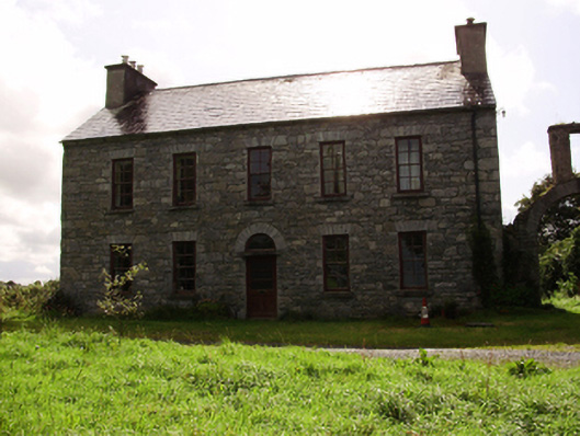 Kilquain Househouse · 836 yd
 Structure in BallynascraghStructure · 920 yd