What is recorded here
In pasture, on S-facing slope immediately below brow of hill. Roughly circular area (55m N-S; 49.5m E-W) enclosed by two concentric earthen banks with an intervening fosse. Inner bank most substantial S->W (int. H 0.4m; ext. H 3.1m). Outer bank (int. H 1.75m; ext. H 0.4m) separated from inner bank by deep fosse (Wth 2.2m). Breaks in inner bank at E (Wth 6.5m) and causeway entrance at S (Wth 6.5m). Outer bank has been eroded by cattle at S. A public road runs immediately outside enclosing element at W. Interior slopes gently up towards centre and is under rough pasture.
Compiled by: Denis Power
Date of upload: 26 August 2011
The monument record does not grant public access. Check the route and ask the landowner before entering private land.
- What survives
- Recorded monument
Places near here
 Lisnagreeve - Hachured (1923Fairy fort / earthen ringfort · 418 yd
 Mound in KnockbweeheenMound · 1030 yd
 Kilcolman Church (in ruins)Church · 1456 yd
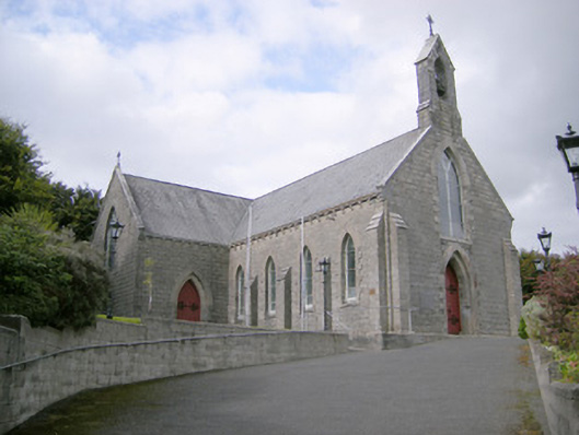 Saint Colman's Catholic Churchchurch/chapel · 1538 yd
 Castle (in ruins)Castle, tower house · 1.0 mi
 CahermoyleCastle, unclassified · 1.6 mi
 St. Luke's WellSpring · 1.7 mi
 St. Kieran's WellSpring · 3.3 mi
 Limerick GreenwayWalking route · 5.2 mi
 Monterey CypressMonterey Cypress · 6.5 mi
 Gammarel PointHeadland · 6.7 mi
 Sugar HillMountain / peak · 6.8 mi