What is recorded here
Lisnafrankagh is a fairy fort in County Galway, Ireland. Its two banks and intervening fosse still mark a subcircular rath twenty-seven metres across on a grassy rise. The western gap may be original, leaving the fort open to whoever or whatever still uses it.
On a rise in undulating grassland. Poorly preserved subcircular rath (D 27.3m) defined by two banks and an intervening fosse. The inner bank survives intermittently from W to NW, while the fosse and outer bank survive from SE through S to SW. A gap (Wth 2.85m) at W may be original.
The above description is derived from the published 'Archaeological Inventory of County Galway Vol. II - North Galway'. Compiled by Olive Alcock, Kathy de hÓra and Paul Gosling (Dublin: Stationery Office, 1999).
Date of upload: 05 August 2010
The monument record does not grant public access. Check the route and ask the landowner before entering private land.
- What survives
- Recorded monument
Places near here
 European BeechEuropean Beech · 359 yd
 Sraoge FortEnclosure · 429 yd
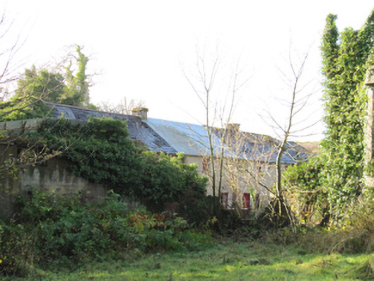 Gortnamonaoutbuilding · 433 yd
 LisnabarraghFairy fort / earthen ringfort · 465 yd
 European YewEuropean Yew · 471 yd
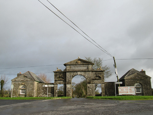 Belviewgates/railings/walls · 1.4 mi
 MoatCastle, motte and bailey · 2.1 mi
 Oghil Castle (in ruins)Castle, tower house · 2.3 mi
 Urraghry HillMountain / peak · 4.1 mi
 The bloody HollowHeritage attraction · 4.2 mi
 Redmond HillMountain / peak · 4.2 mi
 Ardcarn IslandsIslet · 4.4 mi