
What is recorded here
From the National Monuments Service (Archaeological Survey of Ireland) record GA098-106
Places near here
Photo credits
- National Inventory of Architectural Heritage
- Maker not stated on source page, www.agriland.ie
- Maker not stated on source page, wall.alphacoders.com
- Maker not stated on source page, readymap.irish
- Maker not stated on source page, tr.pinterest.com
- Maker not stated on source page, archaeology.org
- Maker not stated on source page, www.pinterest.com
- Maker not stated on source page, www.dreamstime.com
- Maker not stated on source page, www.visitgalway.ie
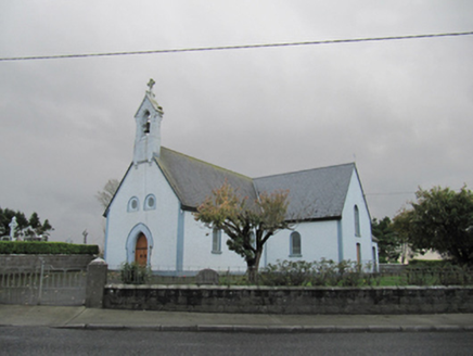 Catholic Church of Our Lady of LourdesChurch/chapel · 890 yd
Explorer Tom Catholic Church of Our Lady of Lourdes in Wallscourt would win a county fair just by standing there and being polite.…
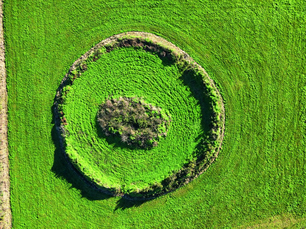 Fairy fort / earthen ringfort in Lecarrownagappoge,meanusFairy fort / earthen ringfort · 1231 yd
Explorer Tom Fairy fort / earthen ringfort in Lecarrownagappoge is throwing a triple-tiered party on a glacial ridge. Three banks…
 CastleCastle, unclassified · 1332 yd
Explorer Tom Castle in Wallscourt is a total mystery box. The records are basically silent, so I’m betting it’s just a very confused…
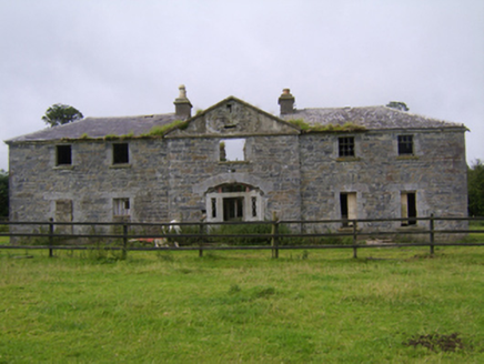 DartfieldCountry house · 1443 yd
Explorer Tom Dartfield is a country house with a U-shape that looks like it’s hugging itself for warmth. The wings are later…
 Dartfield Horse MuseumVisitor attraction · 1496 yd
Explorer Tom Dartfield Horse Museum claims the Vikings got lost looking for it and ended up in France instead. They were so confused…
 Fairy fort / earthen ringfort in LecarrownagappogeFairy fort / earthen ringfort · 1.0 mi
Explorer Tom Fairy fort / ringfort in Lecarrowmactully loves singing 'Bohemian Rhapsody' because it's on a rise that floods, which…
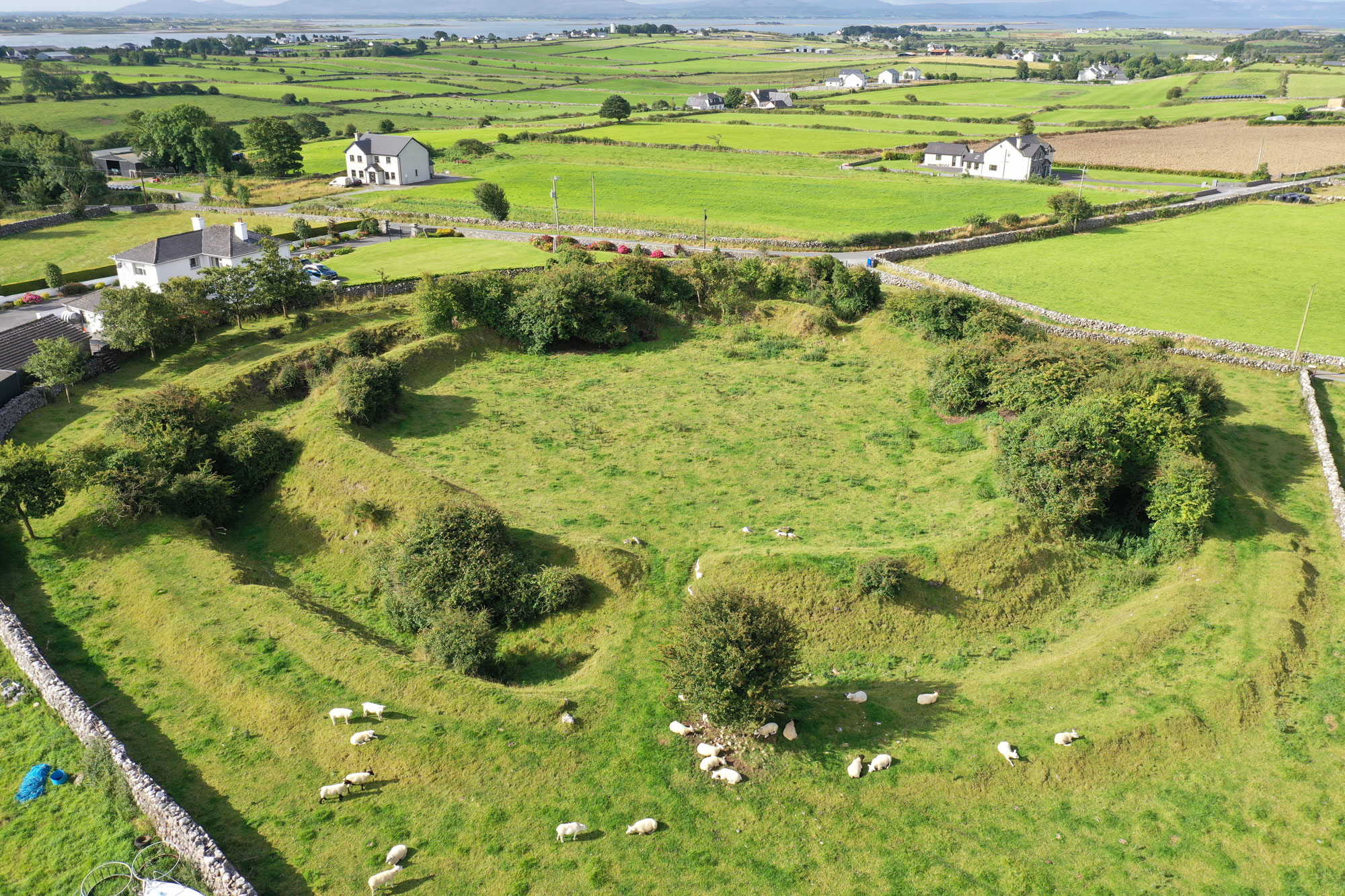 Fairy fort / earthen ringfort in Doon (leitrim By.)Fairy fort / earthen ringfort · 1.1 mi
Explorer Tom Fairy fort / earthen ringfort in Doon has a shortcut that isn't a shortcut, just a long walk around a ditch. I think…
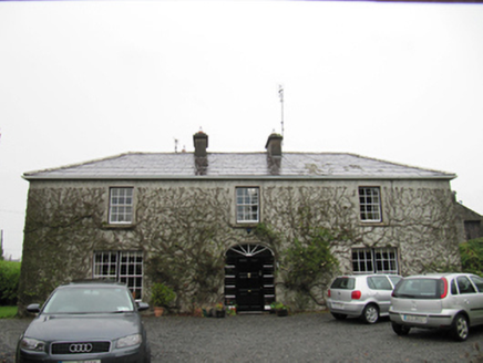 The CottageHouse · 1.4 mi
Explorer Tom The Cottage in Cloonmain had Vikings get lost looking for it because they couldn't find a compass or a decent map. It’s…
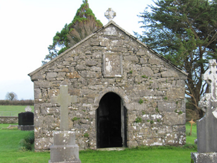 Finnure Catholic ChapelChurch/chapel · 1.7 mi
Explorer Tom Finnure Chapel offers a shortcut that isn’t really a shortcut at all. It’s just a little ruin hanging out with the…
 Church (in ruins)Church · 1.7 mi
Explorer Tom Church in Kilcooly in County Galway is guarding a secret tunnel that allegedly leads straight to the best pub in the…
 Kilcooley CemeteryCemetery · 1.7 mi
Explorer Tom Kilcooley Cemetery was designed by a mother-in-law who wanted every headstone to be perfectly straight and identical.…
 Ballydonnellan CastleCastle, tower house · 2.6 mi
Explorer Tom Ballydonnellan Castle has a secret it would tell after a few pints. It admits it actually enjoys being a schoolyard…
More archaeology and monuments in County Galway · All of County Galway

What do you know about this place?Tap to add a comment or ask a question