What is recorded here
In level pastureland. Subcircular rath (40m NNW-SSE; 38.5m WSW-ESE), in fair condition, defined by a scarp and external fosse. The fosse is visible from WNW to ENE and from ESE to SSW. According to local information, the bank was reputedly destroyed in the 19th century by the landlord while planting the numerous beech trees which now surround the monument.
Compiled by: Galway Archaeological Survey, UCG
Date of upload: 4 December 2017
Lisnaconicaire, also known as Crowsnest, is a subcircular early-medieval ringfort, likely dating to between the 5th and 10th centuries AD. Local tradition associates the site with fairy lore, as is common with many such forts in Ireland, where they are often believed to be the homes of the "good people."
The monument record does not grant public access. Check the route and ask the landowner before entering private land.
- What survives
- Recorded monument
Places near here
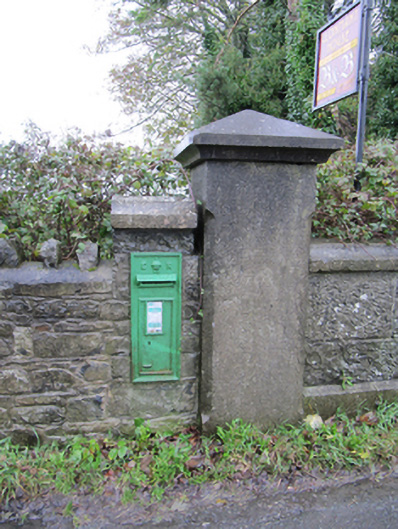 post boxpost box · 1369 yd
 LisheencloghFairy fort / earthen ringfort · 1412 yd
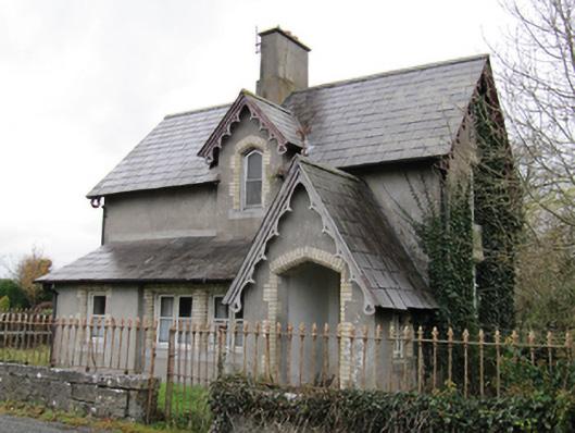 Lismanny Housegate lodge · 1514 yd
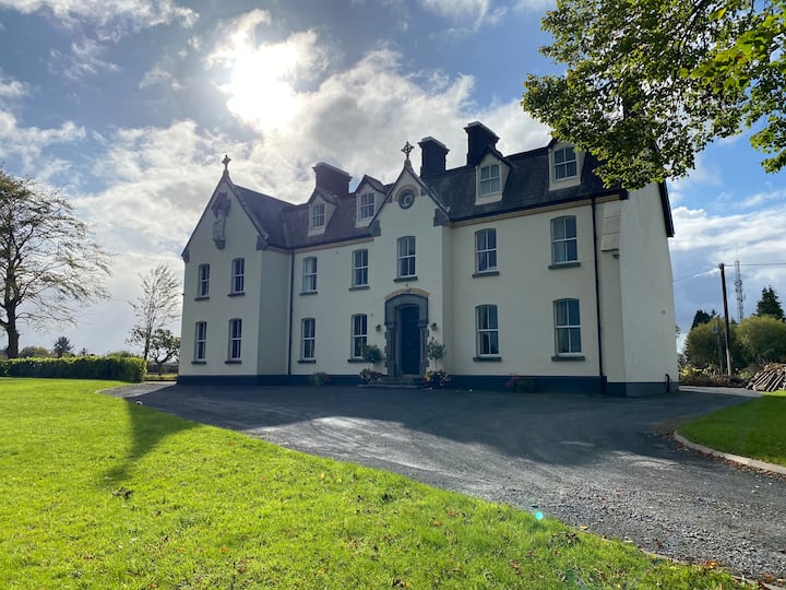 LissawaddaFairy fort / earthen ringfort · 1566 yd
 Oghil Castle (in ruins)Castle, tower house · 1.2 mi
 European BeechEuropean Beech · 1.6 mi
 European YewEuropean Yew · 1.7 mi
 Ballymore CastleCastle, tower house · 2.3 mi
 Ardcarn IslandsIslet · 3.2 mi
 Redmond HillMountain / peak · 3.6 mi
 Urraghry HillMountain / peak · 4.2 mi
 The bloody HollowHeritage attraction · 4.7 mi