What is recorded here
In pasture, located on top of a steep ENE−WSW ridge, on a peninsula jutting into the N side of Newport Bay. There is a steep fall of ground, reflecting the natural slope of the ridge, immediately to N and S of the rath. The rath overlooks a shallow sea inlet on the N side of the ridge, and over a larger inlet on the S side.
This rath is named ‘Lismore’ on the 1838 and 1920 OS 6-inch maps. It consists of a raised circular area (26m N−S; 25.5m E−W) defined by a bank (Wth 2.25m; H 0.85m at W), reduced to a scarp (H 2.5m) with a low internal lip at N and S. Stones protrude from the bank and from the S face of the scarp, and oyster and limpet shells are incorporated into the bank in parts. Traces of an external fosse were evident on the W half of the rath during an inspection in the first half of the 20th-century, but were not noted during a 1987 inspection. There is a break in the bank at WSW, but it is unclear if this represents an original entrance. A chapel (MA067-020003-) is indicated in the S half of the interior as 'Chapel (Site of)' on the 1920 OS 6-inch map, but no trace survives at ground level.
Compiled by: Jane O'Shaughnessy
Date of upload: 24 July 2017
The monument record does not grant public access. Check the route and ask the landowner before entering private land.
- What survives
- Recorded monument
Places near here
 Site of Old ChapelChapel · 8 yd
 IndicatedFairy fort / earthen ringfort · 410 yd
 Raigh Lodgefarm house · 1586 yd
 Knockloughra National Schoolschool · 1602 yd
 Beetle Island NorthIslet · 1610 yd
 InishilraIslet · 1.2 mi
 Killeen CemeteryVisitor information · 1.3 mi
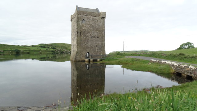 Bawn in RockfleetBawn · 1.5 mi
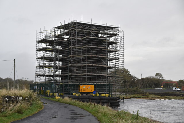 Rockfleet Castle in RuinsCastle, tower house · 1.5 mi
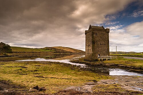 Rockfleet CastleCastle · 1.5 mi
 Rossanrubble PointHeadland · 3.3 mi
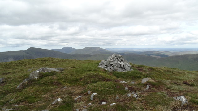 BengormMountain / peak · 3.9 mi