What is recorded here
Lismarnaun is a ruined ringfort in County Kerry, Ireland, where three earth banks and two ditches still mark a circular home on a west-facing slope. A lane has cut through its eastern edge, and overgrowth now hides parts of the middle bank, but the shape remains clear enough to walk around. The fort may have housed a family, a herdsman or a small community, and the nearby underground passage may have served them as a shelter, store or place of refuge.
In pasture, on a W-facing slope. A raised circular area (diam. 34m) defined by the remains of three banks and two intervening fosses. The low inner bank (Wth 3.1m; int. H 0.4m; ext. H 3.9m) is evident NE-SW; elsewhere the interior is defined by a scrap. The innermost intervening fosse (Wth 3.3m) is obscured by overgrowth. The middle bank (Wth 6.2m; int. H 1.1m; ext. H 1.15m) is evident SE-NE and is covered by overgrowth. A field boundary radiates from the W arc. The outermost intervening fosse (Wth c. 2m) is evident SE-W. The remains of the outer bank (Wth 6.3m; int. H 0.5m; ext. H c. 0.2m) are evident SE-WSW. Two slightly raised parallel E-W banks cross the interior to the N and S of the centre: the N bank (Wth 5.9m; int. H 0.55m; ext. H 0.3m); the S bank (Wth 4.2m; int. H 0.2m; ext. H 0.35m). A lane truncates the E portion of the rath. There is a possible Man-made underground passage (KE057-089001-) in the interior.
Compiled by: Elizabeth Byrne, Ursula Egan and Sheila Ronan, Archaeological Survey Unit, University College, Cork.
Date of upload: 31 January 2011
The monument record does not grant public access. Check the route and ask the landowner before entering private land.
- What survives
- Recorded monument
Places near here
 LisboyFairy fort / earthen ringfort · 588 yd
 KilnKiln, lime · 890 yd
 Pallis Castle (Site of)Castle, tower house · 1065 yd
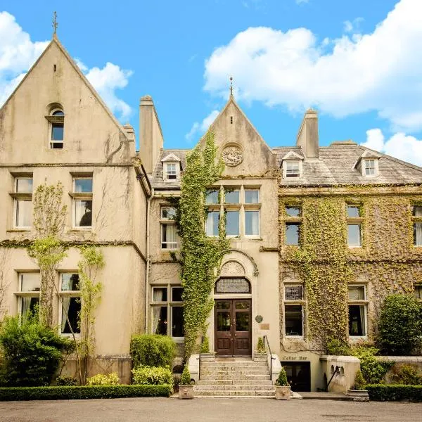 Enclosure in KilclogheraneEnclosure · 1697 yd
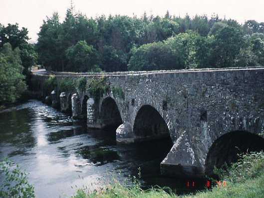 Beaufort Bridgebridge · 1760 yd
 CastleCastle, tower house · 1.2 mi
 Japanese pagoda treeJapanese pagoda tree · 1.9 mi
 European YewEuropean Yew · 1.9 mi
 Dunloe Ogham StonesHeritage attraction · 2.0 mi
 The Kerry Creamery ExperienceHeritage attraction · 2.3 mi
 Rabbit or Brown IslandIslet · 3.8 mi
 O'Sullivan's CascadeWaterfall · 4.1 mi