
What is recorded here
Lisleibane is a collapsed stone ringfort in rough Kerry pasture, holding two circular hut foundations and a local story of an underground passage. It sits between mountains above the Laune plain, where forgotten hands may have built walls now broken by weather and time.
Internal diam. 27.5m ENE-WSW, 23.5m NNW-SSE
Lisleibane/Lios Leadhbáin: This poorly preserved caher is located in rough pasture between Knockroe and Knocknafreaghaun mountains, just S of the expansive plain of the Laune river. Roughly oval in plan, it is enclosed by a largely collapsed bank of stone and earth. This averages 1.5m in external height, .7m high internally and 2m wide. A slightly battered external facing of drystone masonry is preserved in much of its N sector. Internal facing survives only in its SW quadrant.
The central area and the SW quadrant of the caher are occupied by the remnants of two circular huts. That at W (KE065-098002-), located just inside the enclosing wall, measures 4.6m x 4.3m internally and features an entrance gap at S. Its wall footings survive up to 1.1m high and up to 1.7m wide. Adjacent at E is the second hut (KE065-098003-), 4m in internal diameter, which features a 1.5m wide entrance gap at E. Its wall footings stand up to .8m high and 2.5m wide. The site is locally reputed to contain a Man-made underground passage (KE065-098001-).
The above description is derived from A. O'Sullivan and J. Sheehan (compilers), 'The Iveragh peninsula: an archaeological survey of South Kerry'. Cork University Press (1996), no. 604. In certain instances the entries have been revised and updated in the light of recent research.
Date of upload: 29 July 2013
The monument record does not grant public access. Check the route and ask the landowner before entering private land.
- What survives
- Recorded monument
Places near here
 Enclosure in Coolroe (dunkerron North By.)Enclosure · 600 yd
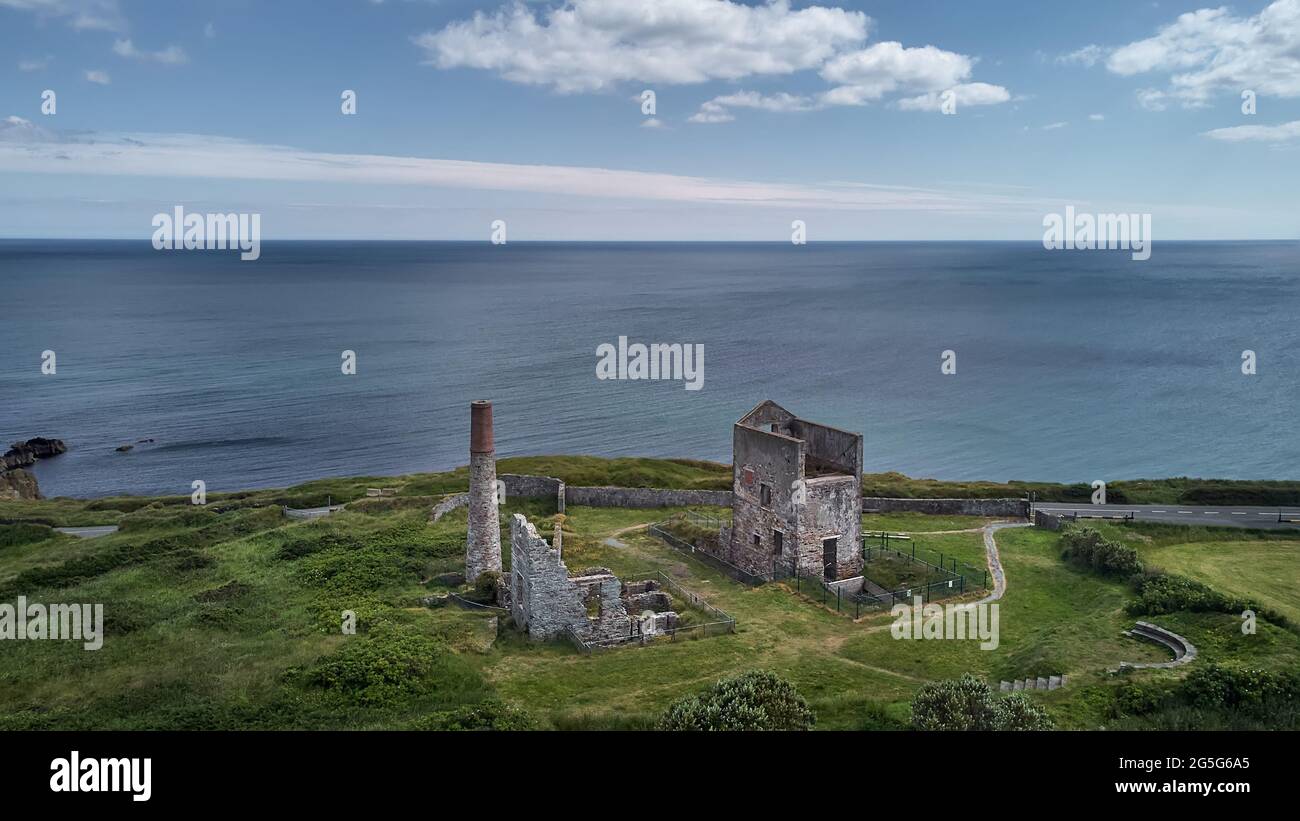 Coolroe CaveMan-made underground passage · 868 yd
 KnockroeMountain / peak · 1516 yd
 Devil's Ladder RouteWalking route · 1.4 mi
 KnockbrackMountain / peak · 1.6 mi
 Crash site of USAAF DakotaHeritage attraction · 1.9 mi
 CarrauntoohilMountain / peak · 2.5 mi
 Killoughane Church (in Ruins)Church · 2.5 mi
 Castle Core (in Ruins)Castle, tower house · 2.9 mi
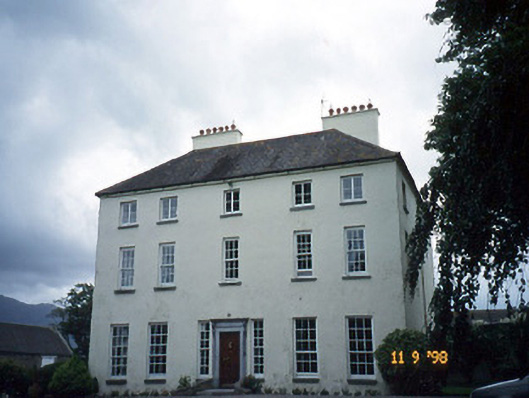 Churchtown Housecountry house · 3.2 mi
 Head of DunloeViewpoint · 3.6 mi
 Ballymalis Castle (in ruins)Castle, tower house · 3.9 mi
Other information
Photo: Credit not shown in the picture search · Rights wording not checked; contact us if this picture should be removed