
What is recorded here
There are now no surface remains of the subcircular enclosure marked at this location on the first edition of the OS map. It was located on the W bank of a tributary of the Gaddagh river.
The above description is derived from A. O'Sullivan and J. Sheehan (compilers), 'The Iveragh peninsula: an archaeological survey of South Kerry'. Cork University Press (1996), no. 798. In certain instances the entries have been revised and updated in the light of recent research.
Date of upload: 29 July 2013
The monument record does not grant public access. Check the route and ask the landowner before entering private land.
- What survives
- Recorded monument
Places near here
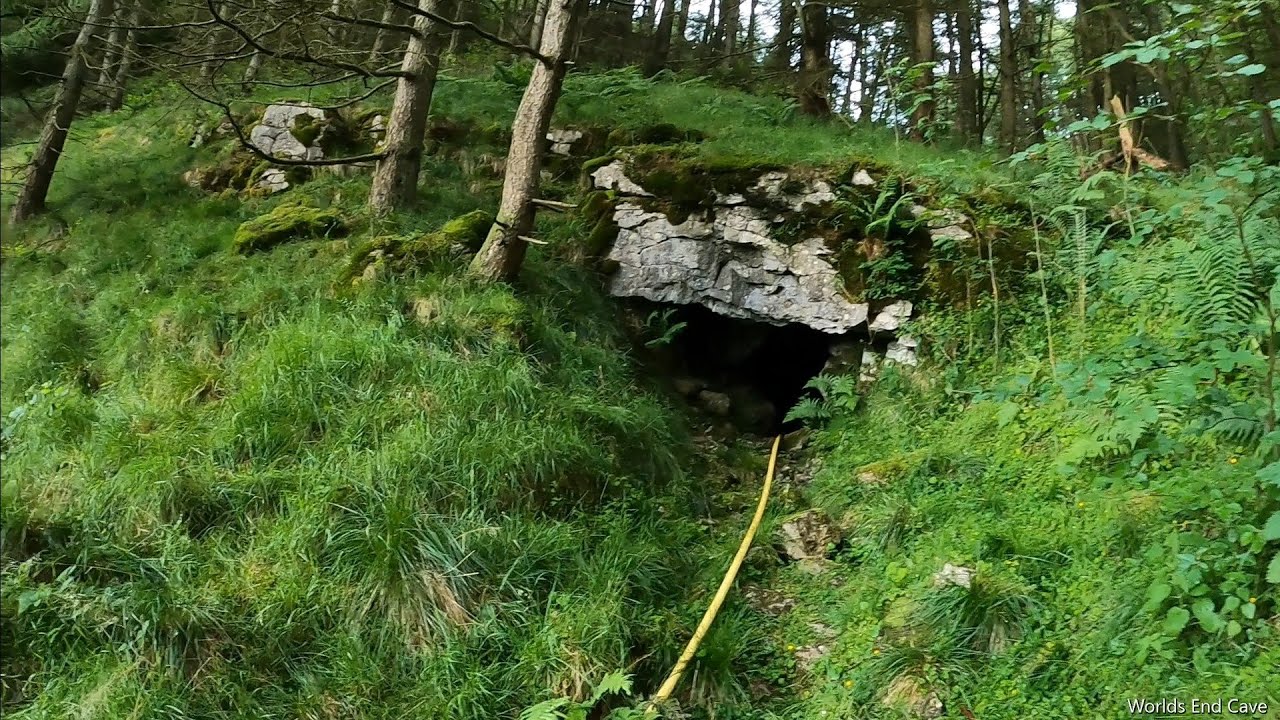 CaveMan-made underground passage · 406 yd
 Coolroe CaveMan-made underground passage · 462 yd
 KnockroeMountain / peak · 1286 yd
 KnockbrackMountain / peak · 1.4 mi
 Devil's Ladder RouteWalking route · 1.6 mi
 Crash site of USAAF DakotaHeritage attraction · 2.2 mi
 Killoughane Church (in Ruins)Church · 2.4 mi
 CarrauntoohilMountain / peak · 2.5 mi
 Castle Core (in Ruins)Castle, tower house · 2.8 mi
 Knockane Churchchurch/chapel · 3.1 mi
 Ballymalis Castle (in ruins)Castle, tower house · 3.7 mi
 Head of DunloeViewpoint · 4.0 mi
Other information
Photo: Credit not shown in the picture search · Rights wording not checked; contact us if this picture should be removed