What is recorded here
Situated on a fairly level landscape with slightly higher ground to the N and E, and on the N side of the ENE-WSW avenue to Whitewood House. It is described as ‘Lisaniska’ from Lios an Uisce – the Water Lios – on the OS 6-inch maps. This is a subcircular grass and rush-covered area (dims 57.8m N-S; 52.4m E-W) defined by an overgrown earthen bank, best preserved (Wth of base 5.5m; int. H 0.75m; ext. H 1.7m) ESE-WSW with an outer fosse or drain (at N: Wth of top 6m; Wth of base 1.5m; ext. D 0.5m), and traces of an outer bank (Wth 3.3m; ext. H 0.9m) SSW-WSW. There are many entrances through the bank but only that at NW (Wth of base 1.7m) has a causeway (Wth of top 2.2m; H 0.6m). An ENE-WSW field bank and drain cut the monument towards the perimeter at S, and it is better preserved S of this feature. It remains unplanted in a forest (Digitalmap).
The above description is derived from the published 'Archaeological Inventory of County Meath' (Dublin: Stationery Office, 1987). In certain instances the entries have been revised and updated in the light of recent research.
Compiled by: Michael Moore
Date of revision: 4 September 2018
Amended: 1`4 December 2022
A local fairy fort (ringfort/rath); wider significance not recorded.
The monument record does not grant public access. Check the route and ask the landowner before entering private land.
- What survives
- Recorded monument
Places near here
 LisnamuckFairy fort / earthen ringfort · 525 yd
 LisbaneFairy fort / earthen ringfort · 662 yd
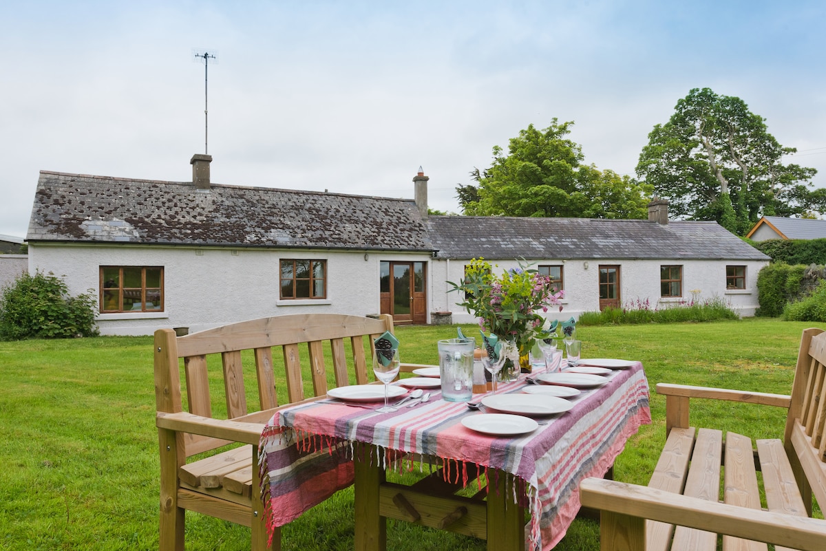 White WoodForest · 960 yd
 GNR Christmas TreesForest · 1191 yd
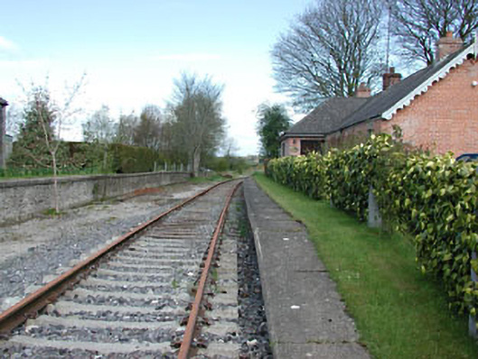 rails (section of)rails (section of) · 1291 yd
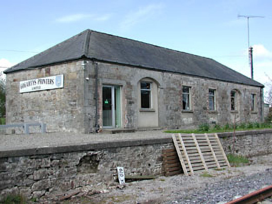 Kilmainham Wood Railway Stationstore/warehouse · 1313 yd
 Gallows HillMountain / peak · 1.1 mi
 MoatCastle, motte and bailey · 1.7 mi
 Nobber GreenwayMemorial · 1.9 mi
 Castkecome RuinsCastle, unclassified · 2.8 mi
 Ugly HillMountain / peak · 3.3 mi
 Owenroe and Moynalty DrainageMemorial · 4.1 mi
Other information
Photo: Credit not shown in the picture search · Rights wording not checked; contact us if this picture should be removed