What is recorded here
Depicted as an oval hachured feature (dims c. 25m N-S; c. 20m E-W) described in gothic lettering as ‘Lissheenlanyreilly’ on the 1910 ed. of the OS 6-inch map but the name also appears in italic lettering on the 1835 edition. It is situated on a N-S ridge planted with coniferous trees and it is c. 30m S of a large glacial erratic (LE009-005----). It is described as a fort and a burial ground ’having five sides 70 links across (diam. c. 14m)’ (OS Name Books). This is a slightly raised circular area (diam. 13m) defined by intermittently visible kerbstones (dims up to 1.8m x 0.6m; H 0.5m), with three on the perimeter W-N. There is no visible evidence of burial, but it may have been a children's burial ground.
The above description is derived from 'The Archaeological Inventory of County Leitrim' compiled by Michael J. Moore (Dublin: Stationery Office, 2003). In certain instances the entries have been revised and updated in the light of recent research.
Date of upload: 23 September 2008
The monument record does not grant public access. Check the route and ask the landowner before entering private land.
- What survives
- Recorded monument
Places near here
 Sweat Ho.Sweathouse · 393 yd
 Sweat HoSweathouse · 477 yd
 Saint Patrick's IslandIslet · 679 yd
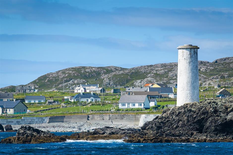 Bilberry IslandIslet · 696 yd
 Lough MacNean WalkWalking route · 730 yd
 Port IslandCastle, Anglo-Norman masonry castle · 1.1 mi
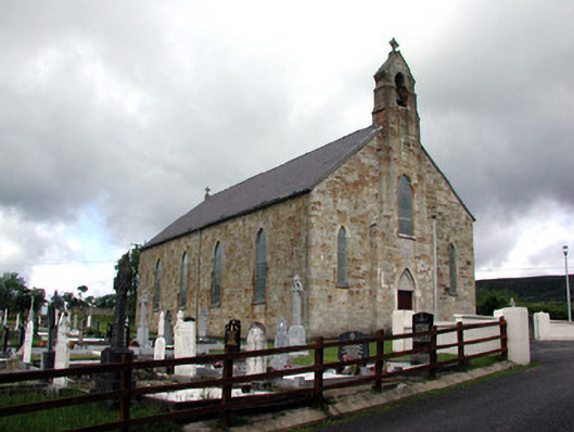 Saint Mary's Catholic Churchchurch/chapel · 1.4 mi
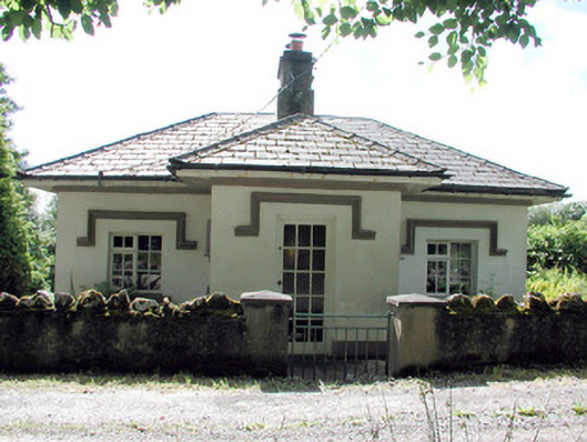 Glenfarne Hallgate lodge · 1.5 mi
 Giant's GraveArchaeological place · 1.8 mi
 CorrevanMountain / peak · 2.4 mi
 BarranMountain / peak · 2.8 mi
 Teampull RuisínHeritage attraction · 3.6 mi