
What is recorded here
Lisheengarriv is a hidden fairy fort in County Kerry, Ireland, where a small circular enclosure vanished beneath level pasture despite appearing on maps from 1846 to 1894. The place sits in the southeast corner of a field with views toward The Paps of Dana, near standing stones that still mark the landscape. It may have been a Danish fort, a human dwelling, or a threshold where the visible world thins into story.
In level pasture, in the SE corner of a field, with views S to The Paps of Dana. This possible rath is not visible at ground level. It is indicated as a circular enclosure (diam. c. 20m) on the 1846 and as a roughly circular raised area (diam. c. 15m) on the 1894 OS 6-inch maps. This is one of the two raths (see KE068-089----) recorded in the 1940s in Lawrence Kelly's land (Schools Manuscript, Co. Kerry). It was also referred to in the 1840s as 'Lisheengarriv' in the E side of the townland (OSNB, Kilcummin, no. 1, 35) and is described as 'a very small Danish fort 80 links [16m] in diameter' (OSNB, Kilcummin no. 3, 37). Standing stones (KE068-088----) lie c. 30m to the W.
Compiled by: Elizabeth Byrne, Ursula Egan and Sheila Ronan, Archaeological Survey Unit, University College, Cork.
Date of upload: 31 January 2011
The monument record does not grant public access. Check the route and ask the landowner before entering private land.
- What survives
- Recorded monument
Places near here
 IndicatedFairy fort / earthen ringfort · 1135 yd
 Fulacht FiadhFulacht fia · 1464 yd
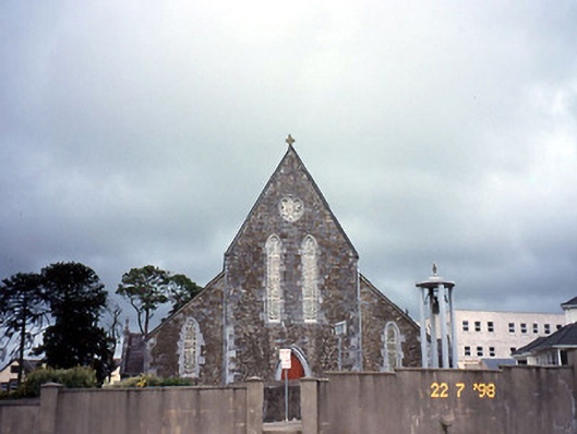 Saint Joseph's Catholic Churchchurch/chapel · 1.2 mi
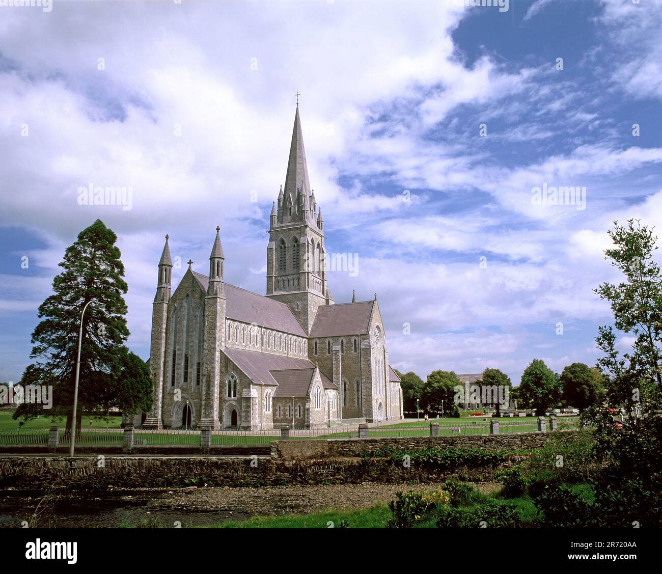 Cullavaw Br.Bridge · 1.2 mi
 Nohaval WoodWood · 2.5 mi
 Caherbarnagh NW TopMountain / peak · 2.9 mi
 CaherbarnaghMountain / peak · 3.3 mi
 BarraduffMemorial · 4.3 mi
 Barna BogForest · 6.9 mi
 Killaha Castle (in Ruins)Castle, tower house · 7.2 mi
 Lissivigeen Stone CircleHeritage attraction · 9.8 mi
 Mass RockNamed rock · 9.8 mi
Other information
Photo: Credit not shown in the picture search · Rights wording not checked; contact us if this picture should be removed