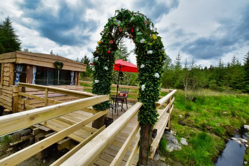
What is recorded here
Located on flat ground overlooking Ballysadare Bay. Circular raised area (int. diam. 32m) enclosed by a bank (Wth 3m, H 0.90m) and ditch (Wth 3m, D 0.20m-0.30m). The entrance gap is in the N (Wth 2.80m).
Compiled by: Geraldine Stout
Date of upload: 29th July 2013
The monument record does not grant public access. Check the route and ask the landowner before entering private land.
- What survives
- Recorded monument
Places near here
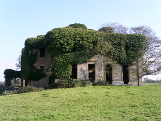 Lisheenhouse · 174 yd
 Field boundary in Carrowcrin (carbury By.)Field boundary · 228 yd
 TemplenagalliaghdooReligious house, unclassified · 741 yd
 The GlenWood · 1164 yd
 IndicatedFairy fort / earthen ringfort · 1166 yd
 CarrigeenfaddaIslet · 1464 yd
 Castle (in Ruins)Castle, unclassified · 1695 yd
 Derinch PointHeadland · 1.3 mi
 Knocknarea trailWalking route · 1.3 mi
 KnocknareaMountain / peak · 1.4 mi
 RinnatalleenHeadland · 1.5 mi
 Bawn in Tanrego WestBawn · 1.8 mi
Other information
Photo: Credit not shown in the picture search · Rights wording not checked; contact us if this picture should be removed