
What is recorded here
Just to the W of the modern field boundary and parallel to it are the remains of an earlier boundary running in a N-S direction and surviving as a discontinuous line of boulders. No indication of the mass rock (Pers comm. Martin Timoney 1989).
Compiled by : Geraldine Stout
Date of upload: 6 November 2013
The monument record does not grant public access. Check the route and ask the landowner before entering private land.
- What survives
- Recorded monument
Places near here
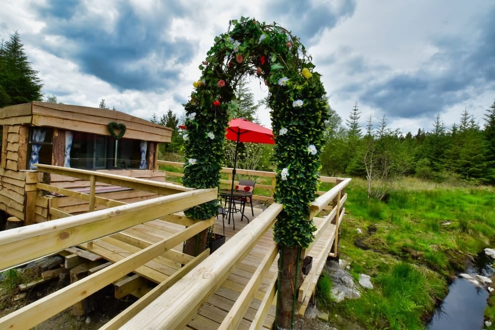 LisheenacooravanFairy fort / earthen ringfort · 228 yd
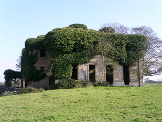 Lisheenhouse · 337 yd
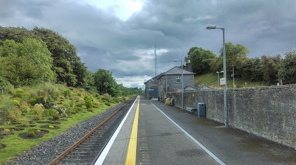 IndicatedFairy fort / earthen ringfort · 369 yd
 TemplenagalliaghdooReligious house, unclassified · 738 yd
 CarrigeenfaddaIslet · 1290 yd
 The GlenWood · 1389 yd
 Castle (in Ruins)Castle, unclassified · 1.1 mi
 Derinch PointHeadland · 1.2 mi
 RinnatalleenHeadland · 1.4 mi
 Knocknarea trailWalking route · 1.5 mi
 KnocknareaMountain / peak · 1.6 mi
 Bawn in Tanrego WestBawn · 1.8 mi
Other information
Photo: Credit not shown in the picture search · Rights wording not checked; contact us if this picture should be removed