What is recorded here
Located on a knoll of rock outcrop which is on a valley floor. A circular embanked enclosure (ext. diam. c. 35m) is depicted on the 1834 edition of the OS 6-inch map where it is described in gothic lettering as a ‘fort’. The map depicts a WNW-ESE road running through it. On the 1907 edition of the map the fort is a small D-shaped area described in gothic lettering as ‘Lisduff’ on the S side of the road. The outcrop is largely quarried away and no archaeological feature is visible at ground level.
The above description is derived from the published 'Archaeological Inventory of County Monaghan' (Dublin: Stationery Office, 1986). In certain instances the entries have been revised and updated in the light of recent research.
Revised by: Michael Moore
Date of revision: 19 June 2018
Lisduff, Maghon is a circular embanked enclosure, likely an early-medieval ringfort, situated on a rocky knoll in a valley. It is associated locally with fairy folklore, as suggested by the name "Maghon," which may derive from a legendary figure or otherworldly being.
The monument record does not grant public access. Check the route and ask the landowner before entering private land.
- What survives
- Recorded monument
Places near here
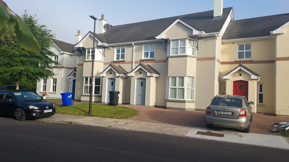 IndicatedFairy fort / earthen ringfort · 833 yd
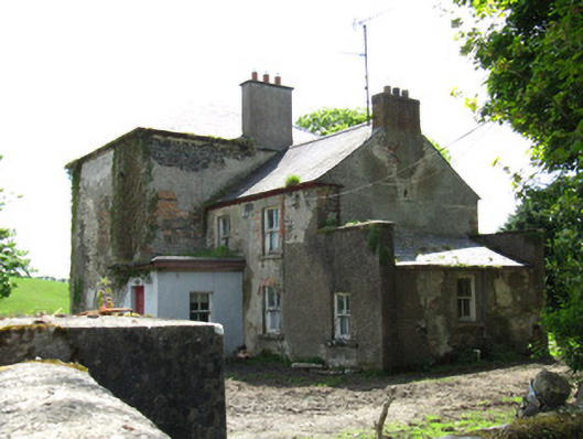 Farmoyle Househouse · 1406 yd
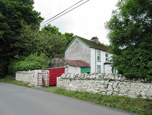 farmyard complexfarmyard complex · 1620 yd
 AghagashlanMountain / peak · 1.2 mi
 Giant's GraveArchaeological place · 1.6 mi
 Ann's FortArchaeological place · 1.8 mi
 Annsfort MillsWood · 1.9 mi
 Senator Billy Fox 1939 - 1974Memorial · 1.9 mi
 Deer ParkForest · 3.5 mi
 Fedd HillMountain / peak · 4.1 mi
 Gull IslandIslet · 4.6 mi
 Bush IslandIslet · 4.8 mi