What is recorded here
In pasture, on the highest point of a ridge, overlooking the valley of the Owgarriff River to the W. This rath is inaccessible due to dense overgrowth. It is indicated on the 1894-5 OS 6-inch map as a circular enclosure (diam. c. 35m) with a triangulation pillar marked on the bank at N. It is probably one of two raths (see KE075-011----) mentioned by Capt. D. B. O'Connell in the 1930s as being '600 yds [549m] S of Owgarriff Bridge' (SMR file).
Compiled by: Elizabeth Byrne, Ursula Egan and Sheila Ronan, Archaeological Survey Unit, University College, Cork.
Date of upload: 31 January 2011
Lisduff, Gortdromakiery is a likely early-medieval ringfort situated on a prominent ridge, offering strategic views over the Owgarriff River valley. While specific folklore is not recorded, its location and inaccessibility due to overgrowth are typical of sites associated with local legends of fairy hauntings or ancient druidic activity.
The monument record does not grant public access. Check the route and ask the landowner before entering private land.
- What survives
- Recorded monument
Places near here
 Owgarriff Br.Bridge · 868 yd
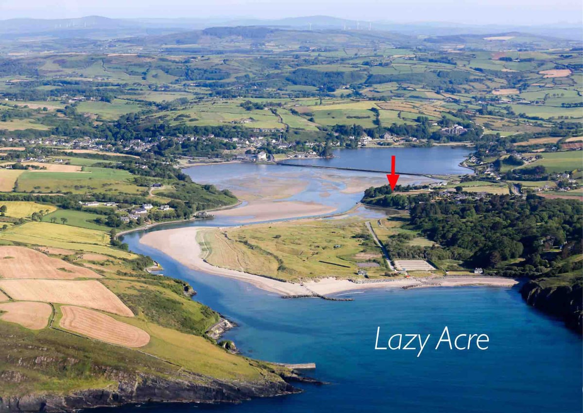 Enclosure in DromdiraloughEnclosure · 1307 yd
 Enclosure in Gortagullane (magunihy By.)Enclosure · 1.3 mi
 TooreencormickBattlefield · 1.8 mi
 Blue Pool Nature ReserveWood · 1.9 mi
 StoompaMountain / peak · 2.2 mi
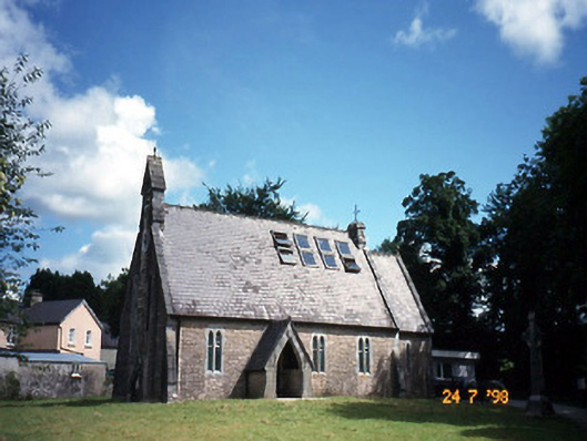 church/chapelchurch/chapel · 2.2 mi
 The Blue PoolGallery · 2.2 mi
 Muckross AbbeyHeritage attraction · 2.4 mi
 Killaha Castle (in Ruins)Castle, tower house · 2.5 mi
 ArboretumNature reserve · 2.6 mi
 A.W.B. (Billy) Vincent MemorialMemorial · 2.6 mi