What is recorded here
Towards the W end of a low E-W ridge which has been shaped into a mound known as 'Lisdoonmore'. Oval grass-covered platform (dims of top 18m E-W; 13m N-S; dims of base 22m E-W; c. 27m N-S) defined by a scarp (H 0.7m at E to 1.6-2m generally) which is situated on top of the mound and separated by a berm (Wth 5.8m at W to 11m at E) NE-S-NW from the edge of the mound (dims of top 39m E-W; 33.5m N-S). There is a bank (Wth c. 3m; int. H 0.2m) on the perimeter of the mound NE-SE, where it is incorporated into an overgrown field bank, and SW-NW. The mound (H 3.5m at N to 5m at S) has a flat-bottomed fosse (Wth of base 1.7-3m; D 0.4m at N to 1.7m at W) around its base, and the bottom of the fosse rises across the ridge at E where it is overgrown. The entrance (Wth 3.2m) in the inner bank is at E. There is an outer earthen bank (Wth 5.8m; int. H 2m; ext. H 1.1m), a second outer fosse (Wth of top 5.8m; Wth of base 2m; D 0.6m) and slight third bank (Wth 3.6m; ext. H 0.3m) at the foot of the mound at NW (L 16m) (max. ext. dims 54m N-S; c. 55m E-W). Earthwork (RO022-059----) is c. 250m to the ESE and rath (RO022-060----) is c. 250m to the SSE.
See the attached aerial view taken from the WNW.
Compiled by: Michael Moore
Date of upload: 24 August 2010
Lisdoonmore Fort, Flaskagh More is an oval-shaped ringfort, likely dating to the early medieval period, characterized by a grass-covered platform and a scarp. Local tradition associates such sites with fairy lore, often regarded as dwellings of the "Good People."
The monument record does not grant public access. Check the route and ask the landowner before entering private land.
- What survives
- Recorded monument
Places near here
 Enclosure in Boyanagh (roscommon By., Cloonyquin Ed)Enclosure · 564 yd
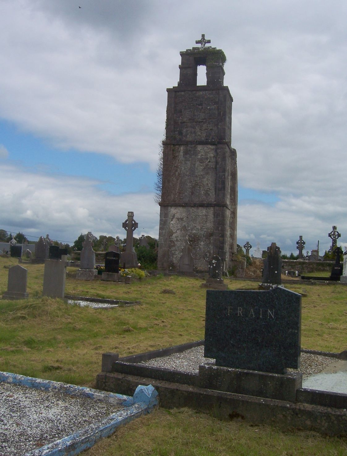 Ritual siteRitual site, holy/saint's stone · 1130 yd
 RoadRoad, road/trackway · 1646 yd
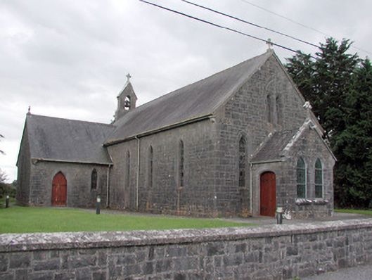 Saint Catherine's Catholic Churchchurch/chapel · 1.7 mi
 CastleCastle, unclassified · 2.4 mi
 Cruachan Aí Heritage CentreMuseum · 2.4 mi
 European ashEuropean ash · 2.5 mi
 ToberagullaSpring · 2.5 mi
 War of Independence Commemorative Military MemorialMemorial · 2.7 mi
 CastlerubyCastle, unclassified · 3.5 mi
 Sweet ChestnutSweet Chestnut · 7.2 mi
 Silver IslandIslet · 8.7 mi