
What is recorded here
Lisboy was a fairy fort in County Limerick, Ireland, where a shallow circular depression still marks the ground before ploughs and development erased its edge. The site sits on a gentle south-facing slope, holding the shape of a boundary rather than a building. It is the kind of place where human life and fairy story become hard to separate, because the land keeps a circle even when memory fades.
In pasture, on gentle S-facing slope. Monument, depicted as embanked circular enclosure (diam. c. 50m) on 1841 OS 6-inch map, has been levelled. However, in area of site a shallow circular (diam. c. 30m) depression is evident, though its edge is very indistinct NE->S.
Compiled by: Denis Power
Date of upload: 26 August 2011
The monument record does not grant public access. Check the route and ask the landowner before entering private land.
- What survives
- Recorded monument
Places near here
 Church (in ruins)Church · 529 yd
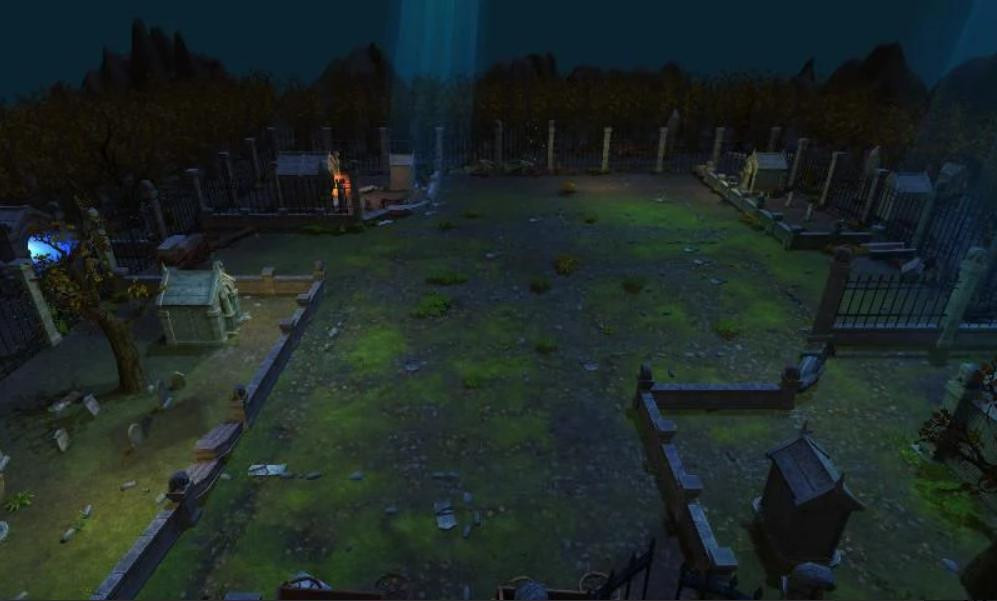 Grave YardGraveyard · 542 yd
 Flat cemetery in CroaghFlat cemetery · 806 yd
 Cappagh Housecountry house · 907 yd
 Cappagh CastleCastle · 1167 yd
 Fulacht fia in Clogh WestFulacht fia · 1225 yd
 Castle (in ruins)Castle, unclassified · 1.3 mi
 Little HeavenHeritage attraction · 2.8 mi
 Flat cemetery in Kiltenan SouthFlat cemetery · 2.8 mi
 Curraghchase Forest ParkForest · 3.3 mi
 GinkgoGinkgo · 4.5 mi
 European YewEuropean Yew · 4.5 mi
Other information
Photo: Credit not shown in the picture search · Rights wording not checked; contact us if this picture should be removed