What is recorded here
Lisardan is a ruined ringfort on a marshy Galway hillock, its twin banks and ditch still visible along the southern edge. The site belongs to an older world of human occupation, possibly fairy lore in local memory, yet no exact date or named resident survives. A second enclosure waits two hundred metres to the southwest, suggesting a small settled landscape rather than a lonely marker. The marsh may have hidden doors, paths or lives now lost, but the earth still holds the shape of what stood there.
On a hillock in marshy grassland. Poorly preserved subcircular rath (N-S 30.3m, E-W 25.7m) defined by two banks and an intervening fosse. The fosse and outer bank are visible from SE through S to NW. An enclosure (GA086-184----) lies c. 200m to SW.
The above description is derived from the published 'Archaeological Inventory of County Galway Vol. II - North Galway'. Compiled by Olive Alcock, Kathy de hÓra and Paul Gosling (Dublin: Stationery Office, 1999).
Date of upload: 05 August 2010
Lisardan, Fahy is a poorly preserved subcircular ringfort, likely dating to the early medieval period, situated on a hillock in marshy grassland. Local tradition may associate such sites with fairy folklore, though specific legends connected to this rath are not recorded.
The monument record does not grant public access. Check the route and ask the landowner before entering private land.
- What survives
- Recorded monument
Places near here
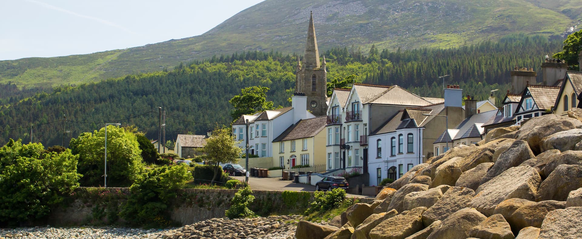 Mass-rock in Newcastle (aughrim Par.)Mass-rock · 1374 yd
 Field system in ArdrosField system · 1533 yd
 IndicatedKiln, lime · 1552 yd
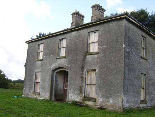 Killaghbeg Househouse · 1631 yd
 Kilconnell AbbeyHeritage attraction · 1.7 mi
 CastleCastle, unclassified · 2.2 mi
 Site of Lisnamoltaun CastleCastle, unclassified · 2.4 mi
 Oak WoodWood · 2.6 mi
 Battle of Aughrim Interpretative CentreMuseum · 3.2 mi
 Large-leaved LimeLarge-leaved Lime · 3.4 mi
 Battle of AughrimMajor battlefield · 3.5 mi
 The bloody HollowHeritage attraction · 3.9 mi