Places near here
Photo credits
- Wanfried-Dublin, Wikimedia Commons · CC BY-SA 4.0
- National Inventory of Architectural Heritage
- Dromahair Arts and Recreation Centre (publisher); individual photographer not stated, discoverdromahairpark.ie
- Real Group Photos / realboyle (Flickr account); individual photographer not stated, www.flickr.com
- Golfing in Ireland; photographer not stated, Source publisher
- Michael Murtagh, Geograph · CC BY-SA 2.0
- Kmcnamee, Wikimedia Commons · CC BY-SA 4.0
- Oliver Dixon, Geograph · CC BY-SA 2.0
- Dieglop, Wikimedia Commons · CC BY-SA 4.0
- GAA.ie; photographer not named, www.gaa.ie
- Maker not stated on source page, www.pinterest.com
 Carn, StonePassage tomb · 2.3 mi
Explorer Tom Carn, Stone in Heapstown is having a massive feud with the rain because it refuses to let the moss grow on its southern…
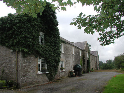 Ardagh HouseFarmyard complex · 2.8 mi
Explorer Tom Ardagh House in Bellanascarva has converted farm buildings that now hide a message about survival in their symmetrical…
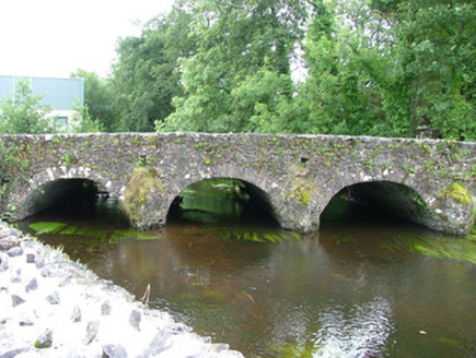 bridge3.5 mi
Explorer Tom Bridge in Ardkeeran was where a priest lost a bet involving a goat, and he never spoke of it again. It’s an…
 Dromahair Park, St. Patrick's GAA, DromahaireGAA ground · 7.7 mi
 Abbey Park, Boyle GAAGAA ground · 10 mi
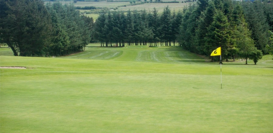 Boyle Golf ClubGolf course · 12 mi
 CrockaunsMountain / peak · 14 mi
Explorer Tom Crockauns bragged about surviving a storm so violent it rearranged its own topography and sent the local cows into a…
 Ballinameen GAAGAA ground · 15 mi
 Glencar IslandIslet · 15 mi
Explorer Tom Glencar Island in County Leitrim would complain to the council about the noise levels from the swans, claiming they’re…
 Glencar WaterfallVisitor information · 15 mi
Explorer Tom Glencar Waterfall in County Leitrim gave up sugar for Lent but ended up eating a whole wheel of cheese instead anyway.…
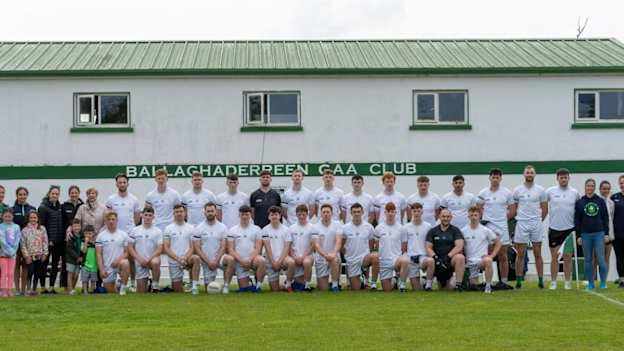 Ballaghaderreen GAA ParkGAA ground · 19 mi
 Caiseal Gaels GAA pitchGAA ground · 19 mi
More archaeology and monuments in County Sligo · All of County Sligo

What do you know about this place?Tap to add a comment or ask a question