
What is recorded here
Linlithgow Royal Park is a deer park in West Lothian, Scotland.
Places near here
Photo credits
- Richard Sutcliffe, Wikimedia Commons · CC BY-SA 2.0
- M J Richardson, Wikimedia Commons · CC BY-SA 2.0
- Barbara Carr, Wikimedia Commons · CC BY-SA 2.0
- Alistair McMillan, Wikimedia Commons · CC BY-SA 2.0
- Maker not stated on source page, www.dreamstime.com
- Maker not stated on source page, in.pinterest.com
- Richard Webb, Wikimedia Commons · CC BY-SA 2.0
- Mmt at English Wikipedia, Wikimedia Commons · Public domain
 Linlithgow, High Street, New WellDrinking Fountain (18th Century), Well (18th Century) · 205 yd
 Linlithgow, Union Road, St John's Evangelical ChurchChurch (19th Century) (1840) · 217 yd
 Linlithgow, High StreetPot(s) (medieval) · 217 yd
 Linlithgow, Union Road, LindisfarneManse (19th Century) (1800)-(1820) · 243 yd
 LinlithgowTanning Pit(s) (post Medieval) (possible), Walled Garden (modern) · 244 yd
 Linlithgow PalaceUnidentified Pottery (roman) · 345 yd
 Linlithgow Palace, LodgeGate Lodge (19th Century) · 347 yd
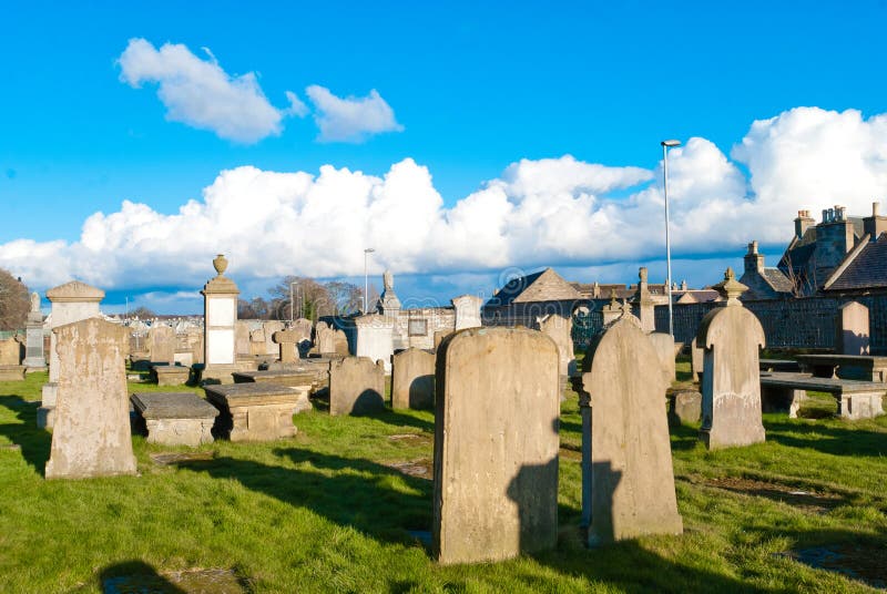 Mapped cemeteryCemetery · 393 yd
 Linthgow, Braehead Road, CemeteryCemetery (19th Century) · 737 yd
 Battle of Linlithgow Bridge 1526Memorial · 1573 yd
 Linlithgow, Mill RoadNo Class (event) · 1580 yd
 John Muir WayWalking route · 1630 yd
More archaeology and monuments in West Lothian · All of West Lothian

What do you know about this place?Tap to add a comment or ask a question