What is recorded here
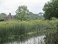
Non-archaeological, the remains of a drain. Although described as a field drain its representation on the OS 6-inch map suggests that this is an archaeological feature, possibly part of the outer defences to the W of the castle. Long linear ditch running N-S to the W of the tower house (LA010-006001-).
Compiled by: Caimin O'Brien
Date of upload: 17 December 2007
The monument record does not grant public access. Check the route and ask the landowner before entering private land.
- What survives
- Recorded monument
Places near here
 IndicatedBawn · 117 yd
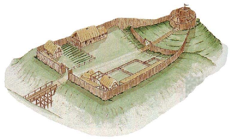 CastleCastle, motte and bailey · 414 yd
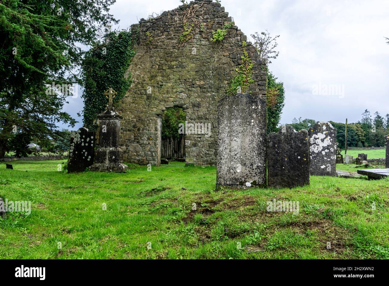 Ecclesiastical enclosure in SrahanboyEcclesiastical enclosure · 669 yd
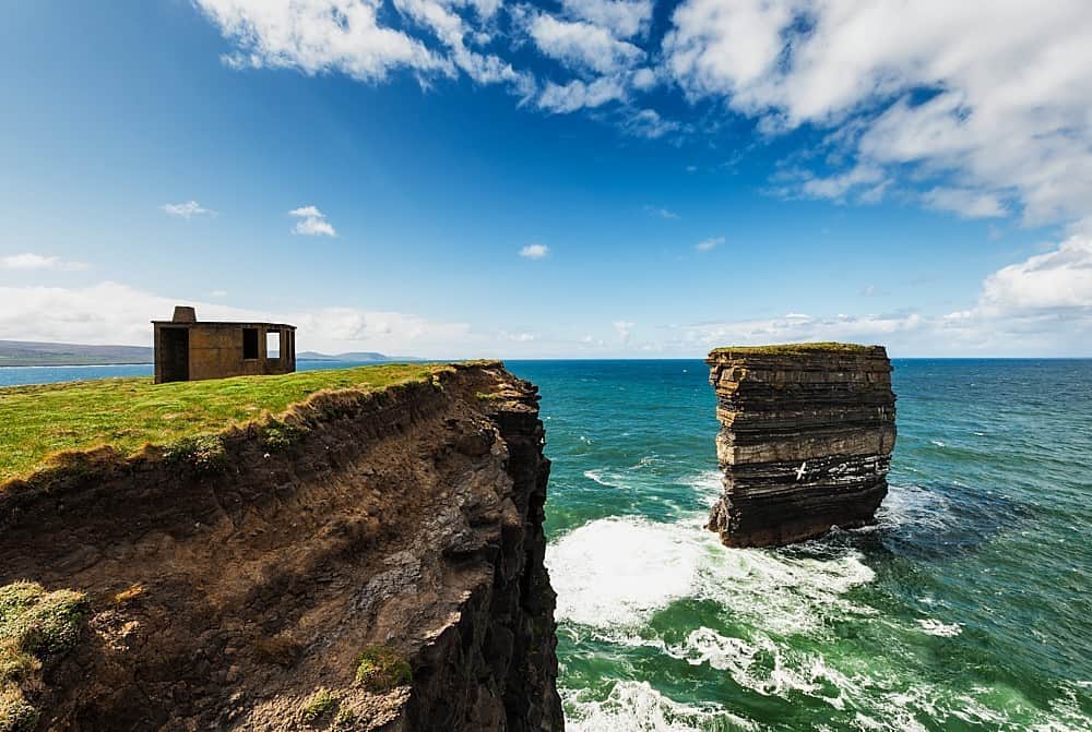 Enclosure in DerrinduffEnclosure · 1.3 mi
 ArderinMountain / peak · 1.7 mi
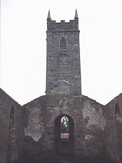 Saint Kevin's Catholic Churchchurch/chapel · 1.9 mi
 FarbreagueMountain / peak · 2.8 mi
 Partially indicatedRoad, road/trackway · 4.0 mi
 Sitka SpruceSitka Spruce · 4.8 mi
 Kinnitty ForestForest · 4.8 mi
 Welcom to GlenreganVisitor information · 4.9 mi
 Saint Kieran's WellSpring · 5.5 mi