What is recorded here
Located within the town of Ratoath, between the motte and bailey and the church. Archaeological monitoring (01E1173) by F. O’Carroll of the line of a sewer under the footpath (D c. 06.-1.6m) adjacent to the extended graveyard (ME044-034017-) and on the line of a new road constructed in 1795 identified a number of features including an open linear ditch (excavations.ie 2001: 1042). The layer of blue/grey compact earth beneath the road surface dips into a wide trench (Wth 1.8m plus) which was not bottomed (D 1m plus) but has straight sides. The large ditch appears to be running WNW-ESE and is aligned with a substantial WNW-ESE drain that is mapped c. 150m to the W and c. 100m to the E on the 1908 edition of the OS 6-inch map and which is still partly open. It is possible that this ditch marked the N boundary of the medieval settlement and that smaller cuts that appeared in the section are the boundaries of the burgage plots as recorded on the OS 6-inch maps. No artefacts were recovered from these features but post-medieval pottery was recorded from the closing layer of this larger ditch. (O’Carroll 2002, 11)
Compiled by: Michael Moore
Date of upload: 9 December 2021
O’Carroll, F. 2002 Archaeological monitoring at Kentstown Road, Ratoath, Co. Meath. Licence No. 01E1173. Unpublished report, CRDS
The monument record does not grant public access. Check the route and ask the landowner before entering private land.
- What survives
- Recorded monument
Places near here
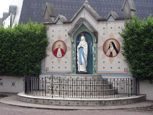 shrine/oratory/grottoshrine/oratory/grotto · 89 yd
 Holy Trinity Church (Ratoath)church/chapel · 90 yd
 Font in RatoathFont · 148 yd
 MotteArchaeological place · 178 yd
 MoatCastle, motte and bailey · 184 yd
 CastleCastle, unclassified · 1.9 mi
 Lemur WoodWood · 2.5 mi
 Emerald ParkHeritage attraction · 2.5 mi
 AshbourneMemorial · 3.3 mi
 Cornstown HouseHeritage attraction · 3.6 mi
 Newtown HillMountain / peak · 3.7 mi
 Caulstown Christmas Tree FarmForest · 4.2 mi