What is recorded here
In rough pasture, on the summit of Mortlestown Hill, 20m W of townland boundary with Ballygeagoge. A linear earthwork intersects Cathair Murthuile (LI056-011001-) at NW. Not marked on OSi historic maps. Cropmark of levelled monument visible as linear feature running NW-SE, intersecting the ringfort (LI056-011001-) at NW on Digital Globe orthoimage taken between 2011-13 and on Google Earth orthoimages.
See attached oblique aerial photograph (CUCAP ATD058) and Google Earth orthoimages
Compiled by: Fiona Rooney
Date of upload: 25 November 2021
The monument record does not grant public access. Check the route and ask the landowner before entering private land.
- What survives
- Recorded monument
Places near here
 Cathair Murthuile -Hachured/Indic.Fairy fort / earthen ringfort · 66 yd
 Mound in MortlestownMound · 522 yd
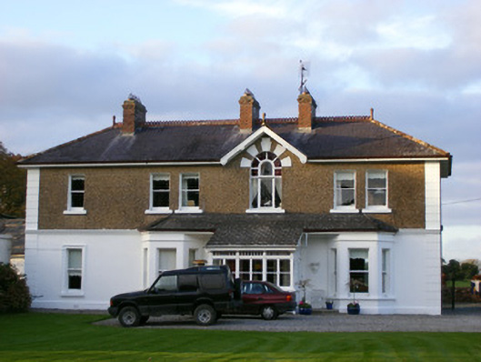 Sycamore Lodgehouse · 647 yd
 Tuck MillWater mill, unclassified · 952 yd
 Ballyhoura tourist informationVisitor information · 1.3 mi
 Treada Na Ríogh (The Moat), hachuredCastle, motte · 1.3 mi
 Castle (in ruins)Castle, tower house · 1.4 mi
 Gooseberry HillMountain / peak · 1.7 mi
 Keale MountainMountain / peak · 2.0 mi
 Palatine's RockNamed rock · 2.3 mi
 Ballyhoura WayWalking route · 2.4 mi
 ToberpatrickSpring · 2.6 mi