What is recorded here
Linear cropmarks of uncertain significance visible on aerial photograph (CUCAP, AYM 38). Located c. 50m SE of enclosure (LH006-051001-).
The monument record does not grant public access. Check the route and ask the landowner before entering private land.
- What survives
- Recorded monument
Places near here
 Killycroney Bridgebridge · 313 yd
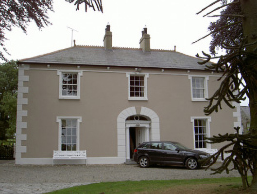 Killycroney Househouse · 315 yd
 Man-made underground passage in CrossabeaghMan-made underground passage · 319 yd
 Enclosure in MullabohyEnclosure · 1034 yd
 Mount AshCastle, motte · 1262 yd
 CastleCastle, motte and bailey · 1.8 mi
 Photo GalleryHeritage attraction · 3.6 mi
 Dundalk CentralHeritage attraction · 3.6 mi
 Maid of ErinMemorial · 4.1 mi
 Bombing 1975Memorial · 4.1 mi
 Sky HillMountain / peak · 4.4 mi
 Ballsmill Amenity LandPicnic place · 4.9 mi