What is recorded here
The following description is derived from both the published 'Archaeological Inventory of County Louth' (Dublin: Stationery Office, 1986) and the 'Archaeological Survey of County Louth' (Dublin: Stationery Office, 1991). In certain instances the entries have been revised and updated in the light of recent research.
Date of upload/revision: 17 July 2007
Section of drystone-faced earthen bank (Wth c. 2-5m, H 1m) passing along the N side of a mearing which divides the townlands of Cookstown and Tattyboys. This is reputedly a part of the Pale boundary, but is dismissed as such by Tempest (CLAJ 1931, 435).
The monument record does not grant public access. Check the route and ask the landowner before entering private land.
- What survives
- Recorded monument
Places near here
 Fulacht fia in CookstownFulacht fia · 373 yd
 Site of Cookstown CastleCastle, unclassified · 775 yd
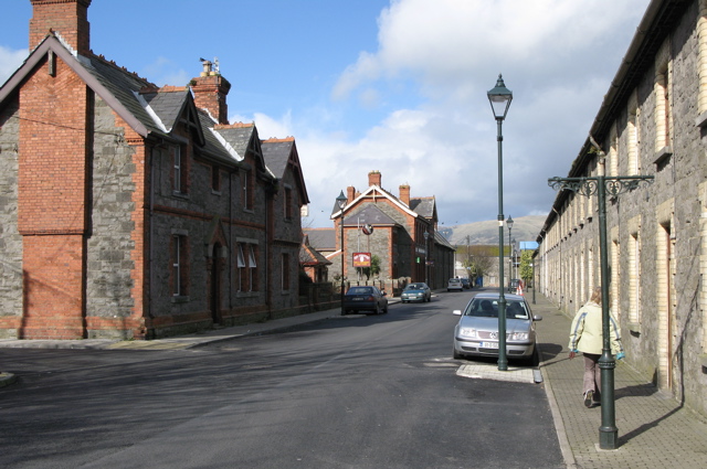 Enclosure in CardistownEnclosure · 961 yd
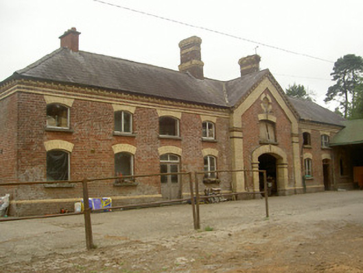 Cardistown Housefarmyard complex · 1235 yd
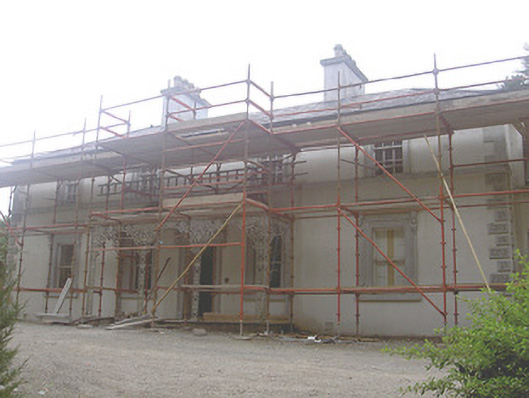 Cookstown Househouse · 1404 yd
 Louth HallCastle, tower house · 2.0 mi
 Long PlantationForest · 2.1 mi
 Matthew's HillMountain / peak · 2.6 mi
 English hollyEnglish holly · 2.8 mi
 Yellow HillMountain / peak · 2.9 mi
 Sir Frederick Foster MemorialMemorial · 3.2 mi
 Flat cemetery in AnnaheanFlat cemetery · 3.3 mi