What is recorded here
Located in the flood-plain of the NW-SE Tolka River which is c. 100m to the N. Archaeological monitoring (08E0605) by C. McCarthy of topsoil stripping over an extensive area (max. dims c. 450m N-S; c. 350m E-W) identified five areas with archaeological deposits and features (McCarthy and Mitchelll 2008; excavations.ie 2008:943). One was post-medieval, another (ME051-043----) is to be preserved in situ and the other three were fully resolved (08E0840) by the same archaeologist (excavations.ie 2008:944).
In Area 4 a SW-NE medieval boundary ditch with feeder drains was encountered, and it could be traced across the area to the SW where a medieval ditch (Wth c. 1.25m; D c. 0. 0.4m) on a NNE-SSW alignment and with feeder-drains but in the vicinity of the waterhole (ME051-042----) could be a continuation of it (McCarthy et al. 2009, 27-30). Four phases of medieval drainage works are associated with this section in Area 4 where the flat-bottomed boundary ditch (Wth 2.8-3.4m; D 0.8-1.2m) was open and drained NE into the Tolka. An organic-rich silt (T 0.1-0.2m) at the bottom was beneath re-deposited subsoil (T 0.5m) which is a deliberate attempt to close it. The pottery from the back-fill dates from the twelfth to the fourteenth century and was probably derived from a bank on the NW side of the ditch as the subsidiary drains (Wth 0.9-1.6m D 0.4-0.85m) all joined it from the SE. The remains of a child were found on top of the subsoil at the N end of the boundary ditch on its W side but a grave-cut was not discernible and it may have been beneath a bank associated with the drain. A fragment from the skull returned a C14 date of 1162-1252 cal. AD. (ibid. 50-63).
There was a metalled surface close to the junction of the ditch and one of the drains. A pit (dims 3.6m x 2.13m; D 0.9m) had been filled with re-deposited subsoil and gravel that had a drystone revetment on the N side and stones on the upper surface. It may have served as a threshing floor and a deposit of carbonised chaff and cereal grains partly covered it. The floor was in an acute angle between the ditch and a drain, and was itself enclosed by a small ditch (L 16.9m; Wth 0.6m; D 0.2-0.3m) connecting both of these features. This ditch had three silt layers that produced medieval pottery (ibid. 50-63).
Compiled by: Michael Moore
Date of upload: 9 November 2021
The monument record does not grant public access. Check the route and ask the landowner before entering private land.
- What survives
- Recorded monument
Places near here
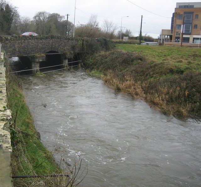 Clonee Bridgebridge · 124 yd
 Church in Clonee (dunboyne By.)Church · 176 yd
 Enclosure in Clonee (dunboyne By.)Enclosure · 957 yd
 Enclosure in LoughsallaghEnclosure · 1160 yd
 CastleCastle, ringwork · 1.4 mi
 Church, GraveyardChurch · 2.0 mi
 TyrrelstownWood · 2.1 mi
 Graveyard in BuzzardstownGraveyard · 2.3 mi
 Blanchardstown Centre information deskVisitor information · 2.6 mi
 Luttrellstown CastleCastle · 2.6 mi
 GinkgoGinkgo · 2.9 mi
 Griffeen Valley WalkWalking route · 4.6 mi